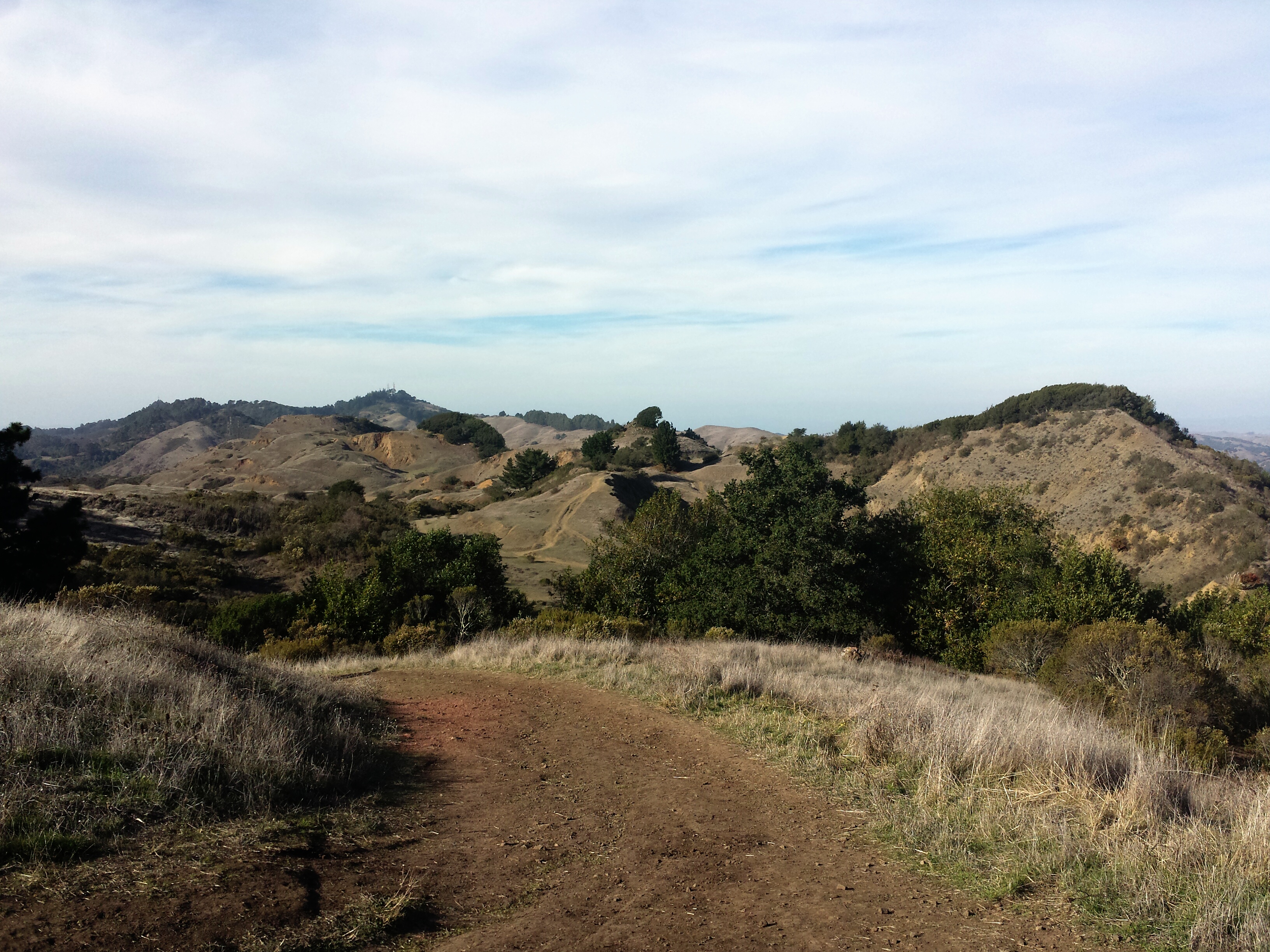
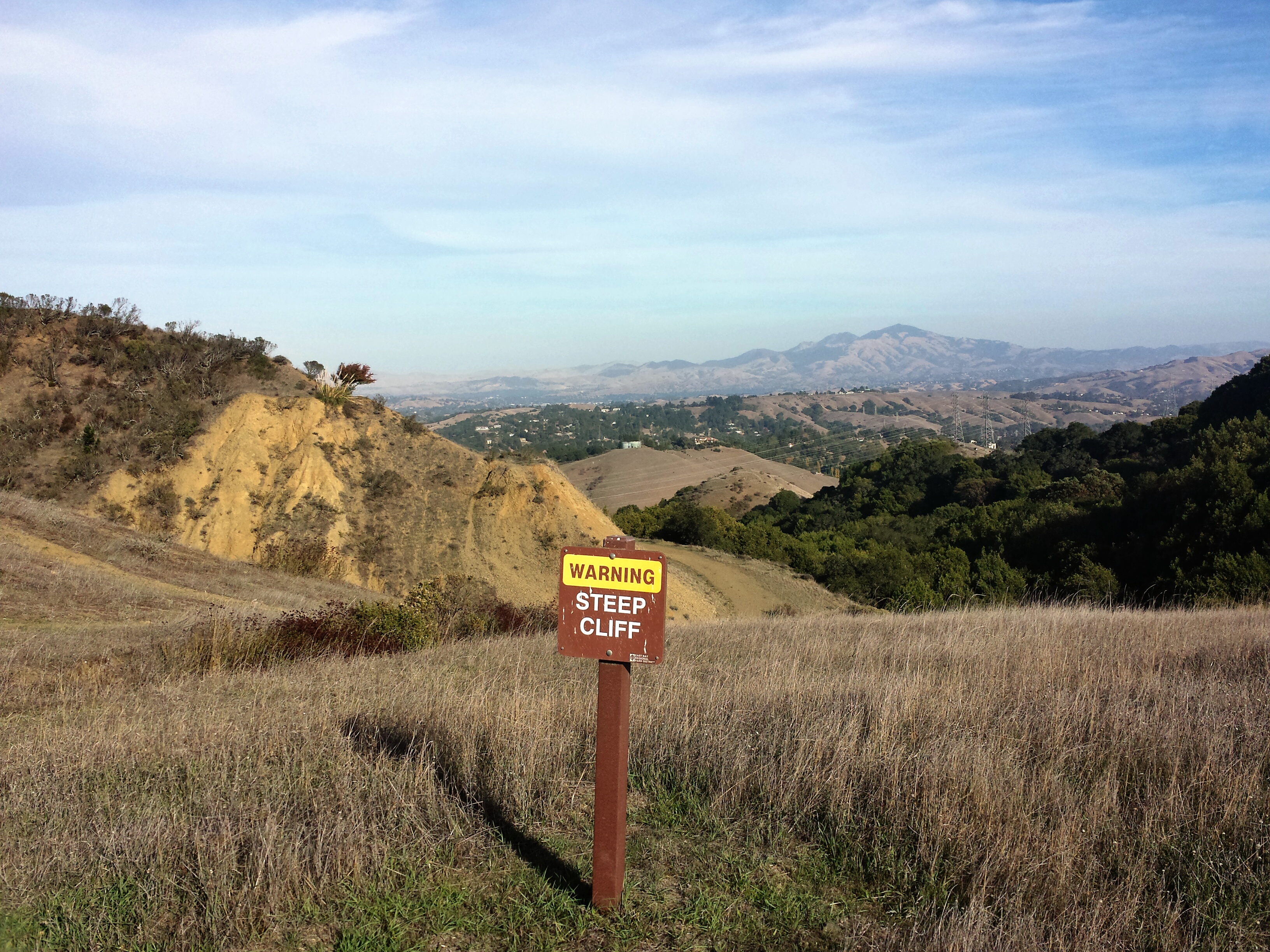
We did a short hike today at Sibley Volcanic Regional Preserve to check out the All Trails and Mapmyhike apps. I tried to get some good photos of the volcanic ruins, but they just didn’t photograph well. Chico was obsessed with looking over the edge of the cliff, while I’m kinda afraid of heights:)
This park is very dog friendly and popular with dog owners and dog walkers any time of day:) There is the short Round Top trail which is 2 miles, but many other trails branch off the Sibley Staging Area.

I need to play around with the apps more. I haven’t figured out how to add a map to the area, but I can keep a personal record of hikes, with the elevation and the length of time, average mph, etc. The prel-oaded maps on All Trails, only have a map or two in the same park, For instance they have 2 Redwood Regional Maps, when there are several popular and populated trails that go thru that park.
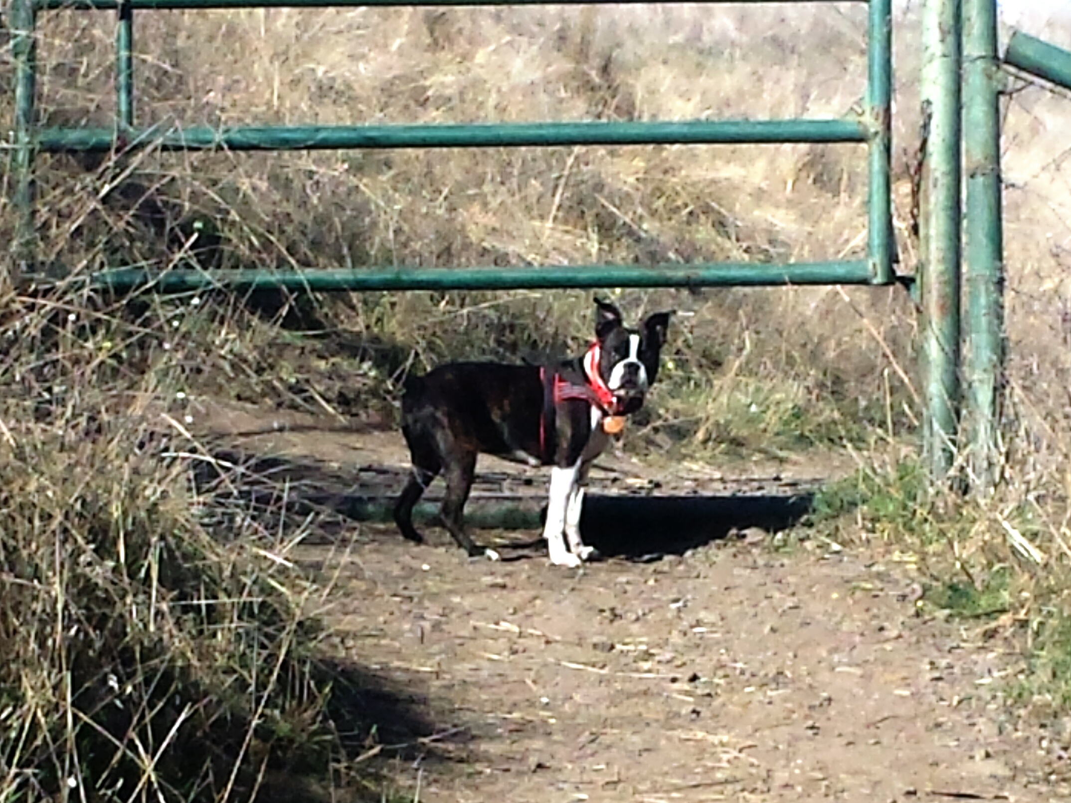
Sibley Park has a few of these grazing gates. This one on Round Top Trail is my cue to put Chico on leash as the steep cliff is coming up, and he loves those edges.
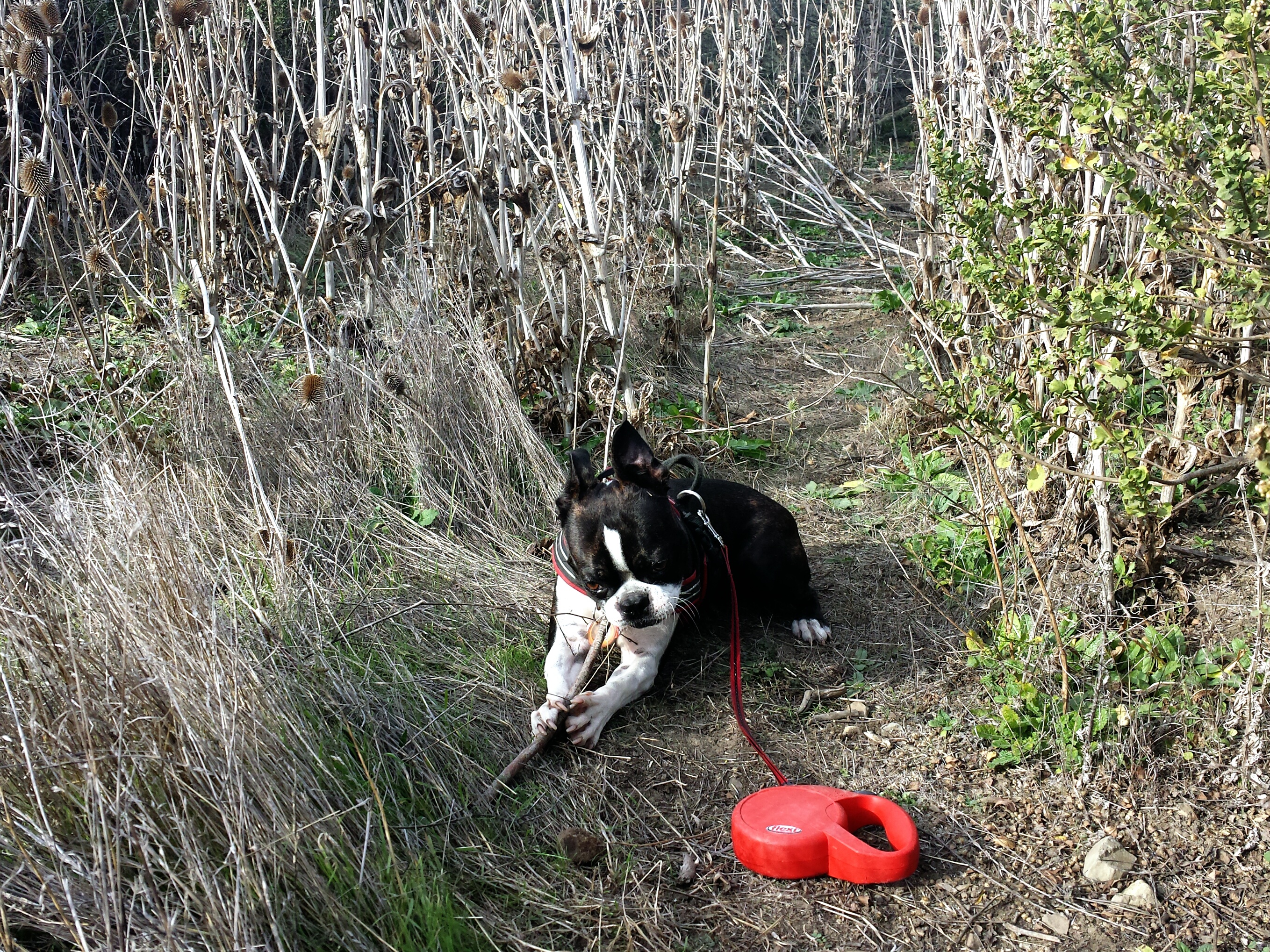
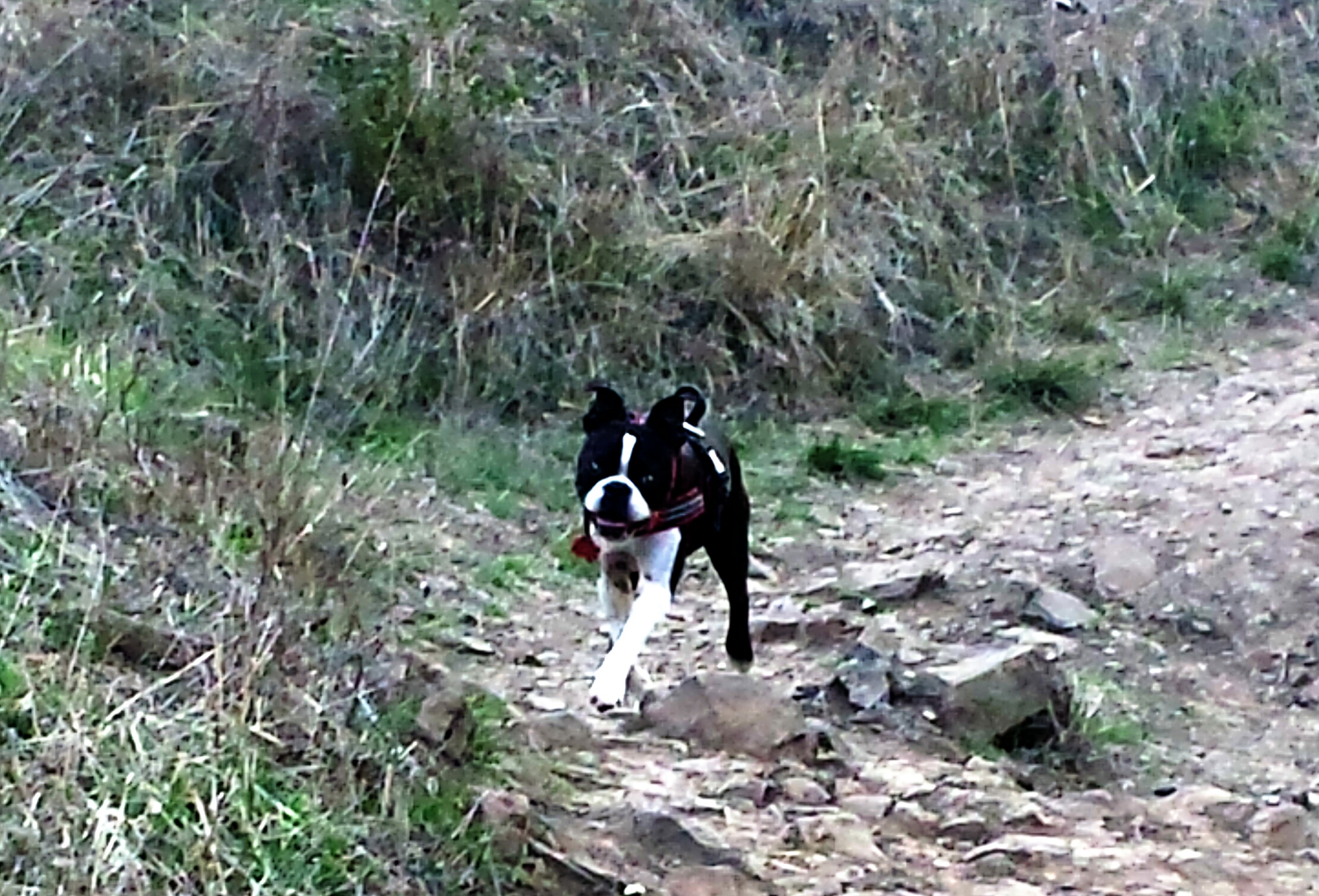
Chico can have fun on any kind of trail.