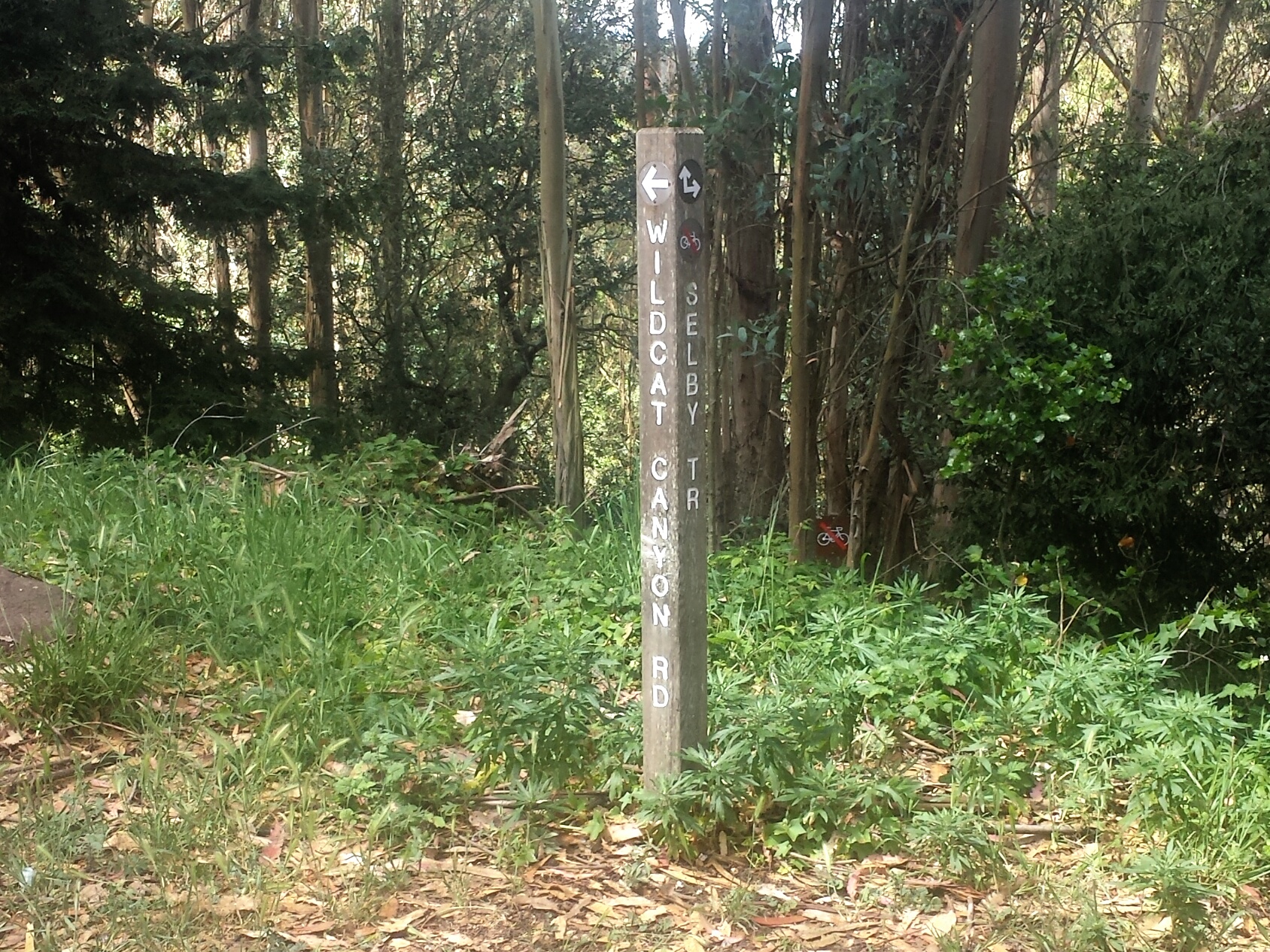
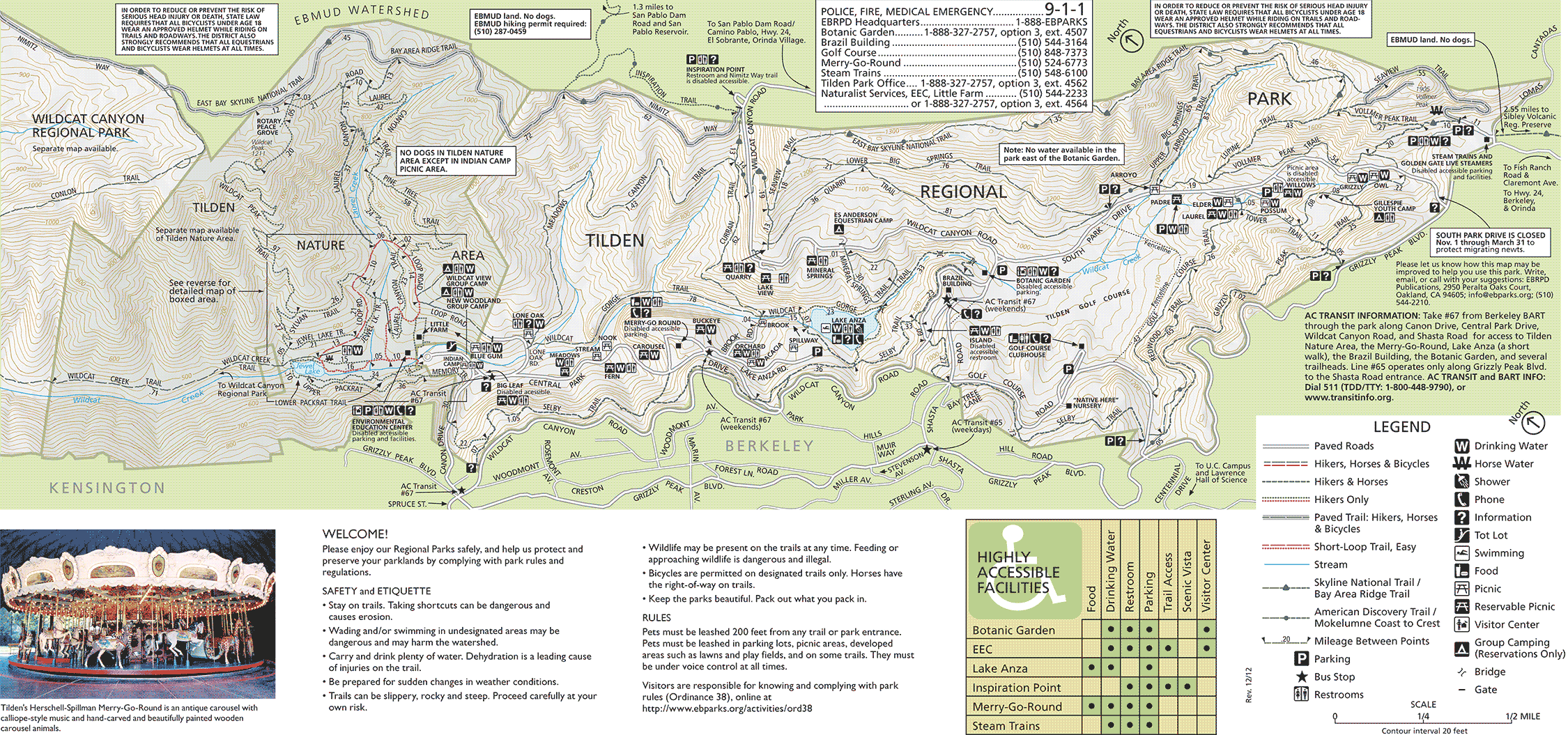
It was one of those days where I felt more tired than usual when I woke up, so I read hiking blogs to inspire myself. I decided to scout a good entry point for the Selby Trail in one of the spots where it seemed close Wildcat Gorge Trail, so I could find a larger loop using most of Wildcat Gorge trail, instead of the small section of it that I wrote about in a different loop. My first stop was spot off of Wildcat Canyon Road. We parked on Shasta Road at the Rest Room and Picnic Area just a few feet from The Brazil Building. To my luck, the entry point I chose to scout, was also for the start of the top of Wildcat Gorge Trail, which I had never been on before, but had tried to get to from lower Wildcat Gorge several times.
We ended up with a much longer and challenging hike then I had expected when we set out! It was a gorgeous hike, we saw a few bridges, some wild flowers, climbed rocks, and glimpsed many different views of Lake Anza I don’t have the complete mileage as I didn’t bring a back up power source for my phone like I usually do since I thought I would only be out for a bit, but I did get a ton of photos before my phone died. I would estimate we did around 5, but you could easily go shorter or longer.
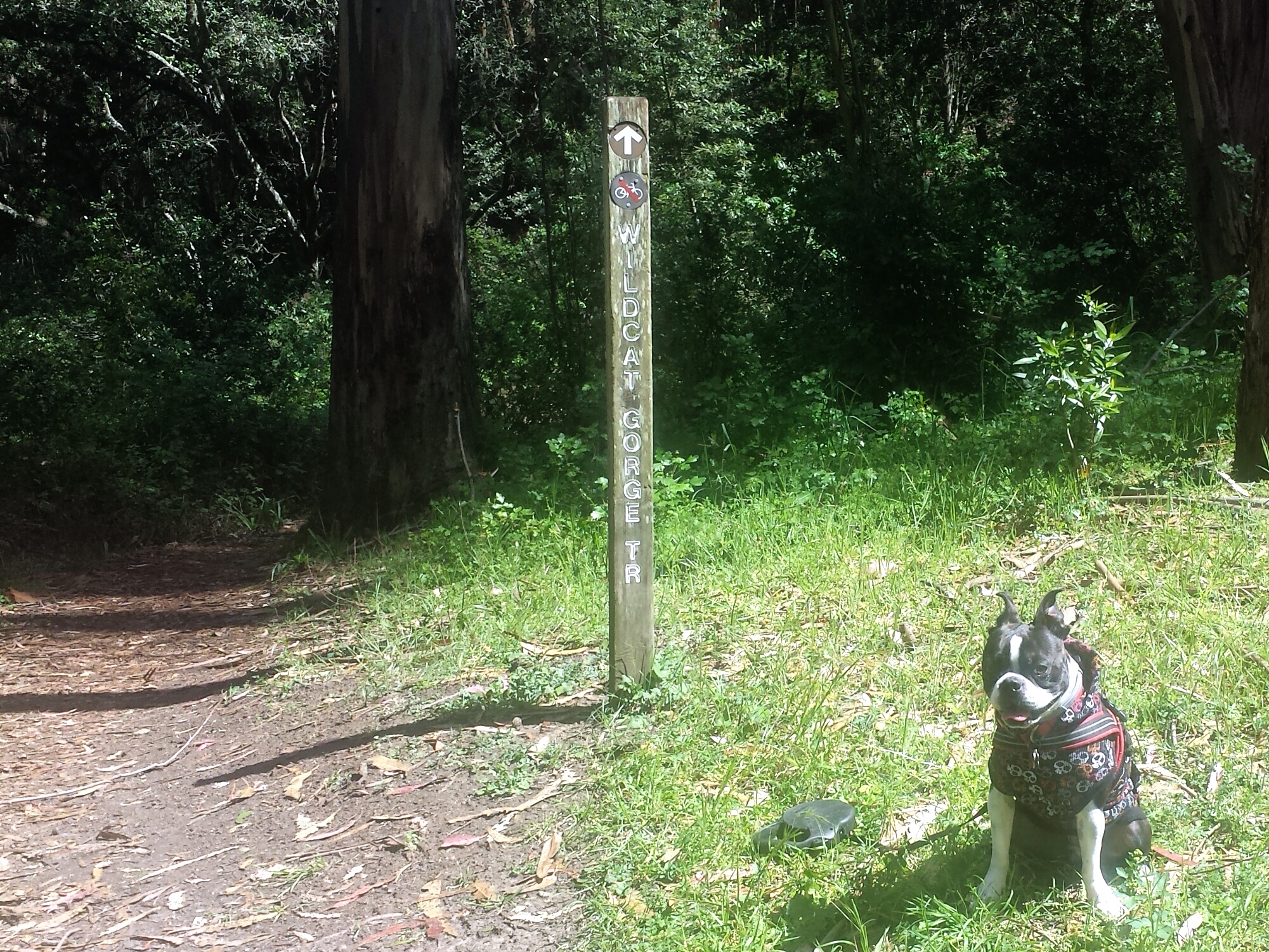
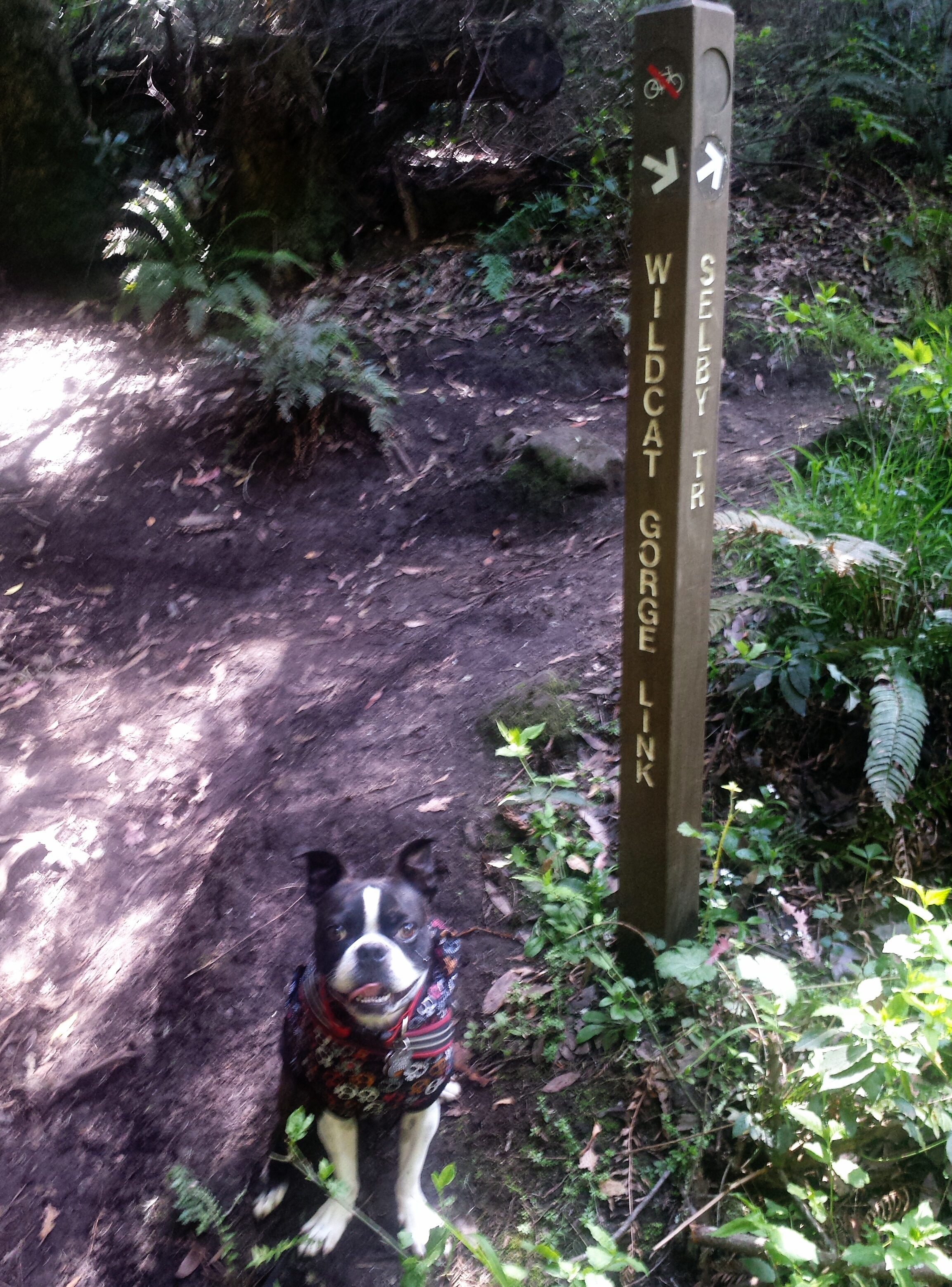
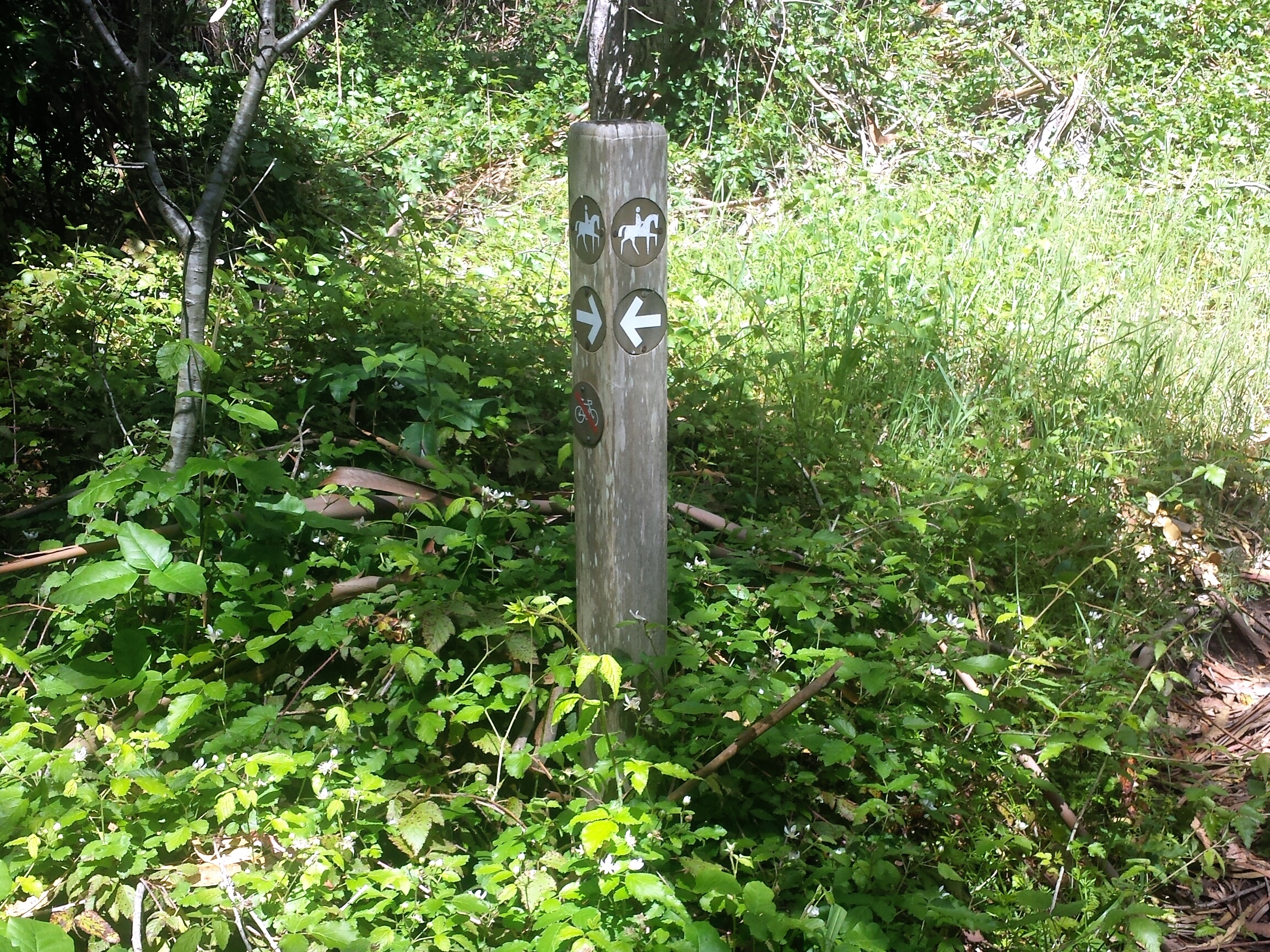
After we parked, we ran into some other people who were also looking for the SelbyTrail, and we compared maps, we were still a bit confused, and then asked the East Bay Regional Park Rangers, they are always so helpful:) We walked down from the picnic area on Shasta Drive and crossed Wildcat Canyon Road which is a fire road, and we found our first Marker, and took Wildcat Gorge Trail instead of Selby.
No bikes are allowed on this portion, the trail here is very narrow in spots, so even tho Wildcat Gorge is off leash I kept Chico on his flexi leash out of respect for others in case we came around a blind corner, and because even though I knew he would prob be ok if his clutzy nature caused him to slide down to the bottom, I also knew that he couldn’t get back up, and I couldn’t get down that way in a reasonable amount of time.
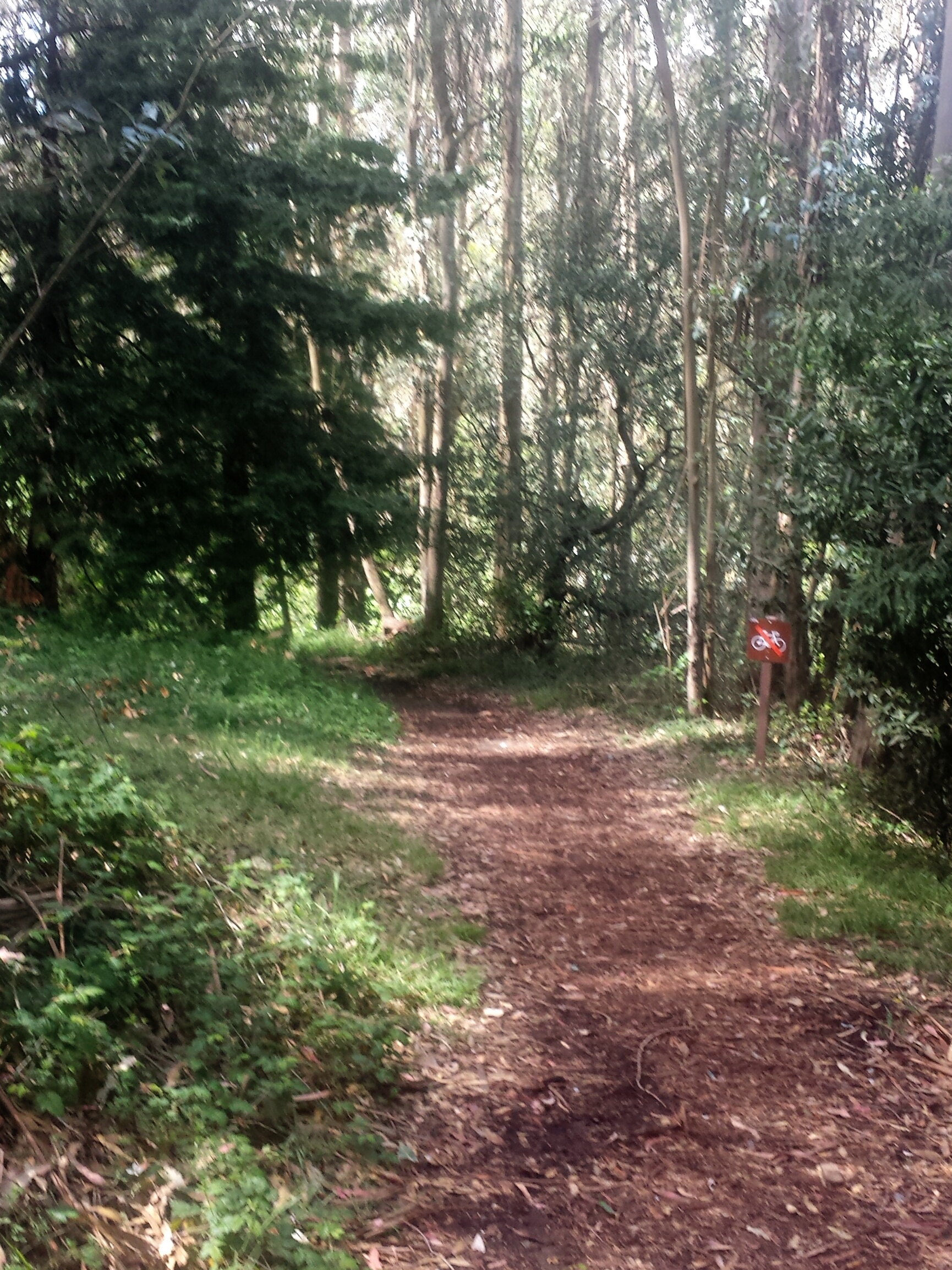
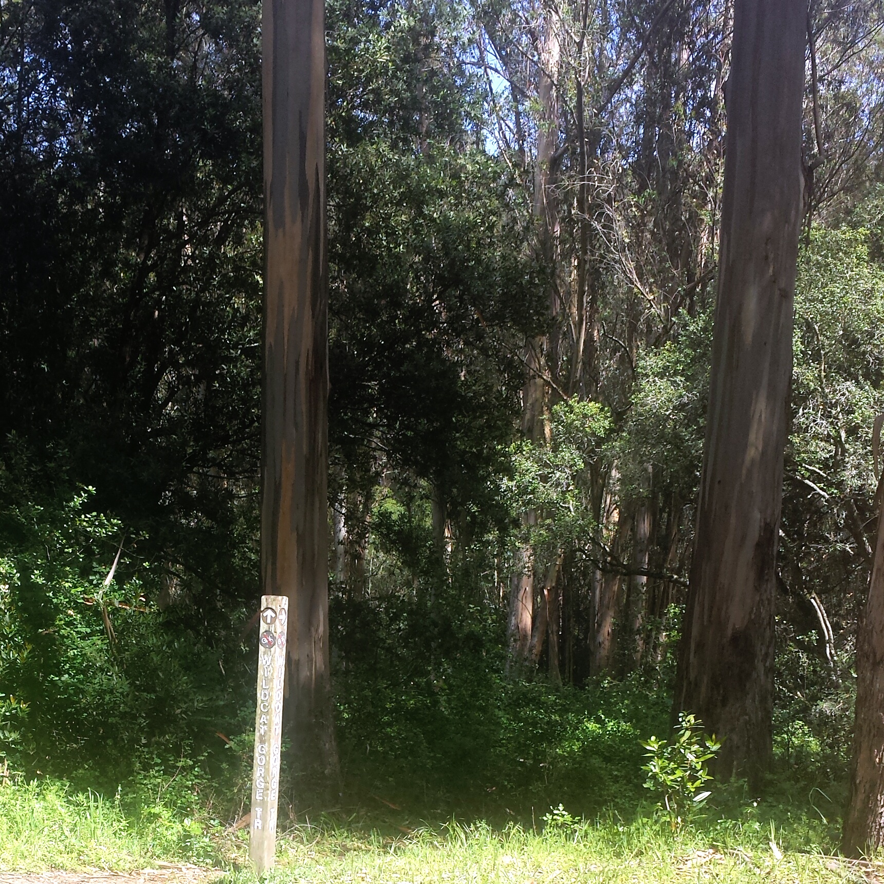
We followed all the Wildcat Gorge markers, and will take the Selby Trail Markers next time. The decent is easy, but the trail up can be full of tree roots, ruts, and rocky terrain. Really fun stuff for both of us!
Then we came to the Marker that said ‘Wildcat Gorge Link.” Which after some further exploring, explained why we could never get to this part before, this portion is just labeled as Lake Anza Trail–I think, and when coming from Wildcat Gorge Trail below, it just appears to end at Lake Anza Trail, I had always thought that there must be some trail head that I was missing. And I still might be!
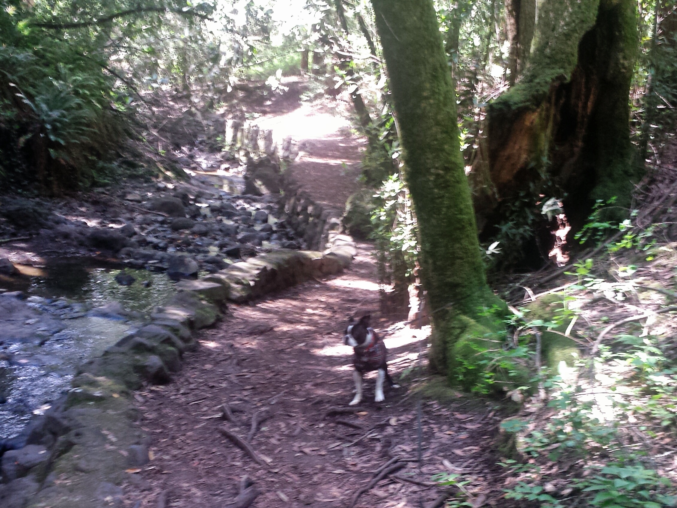
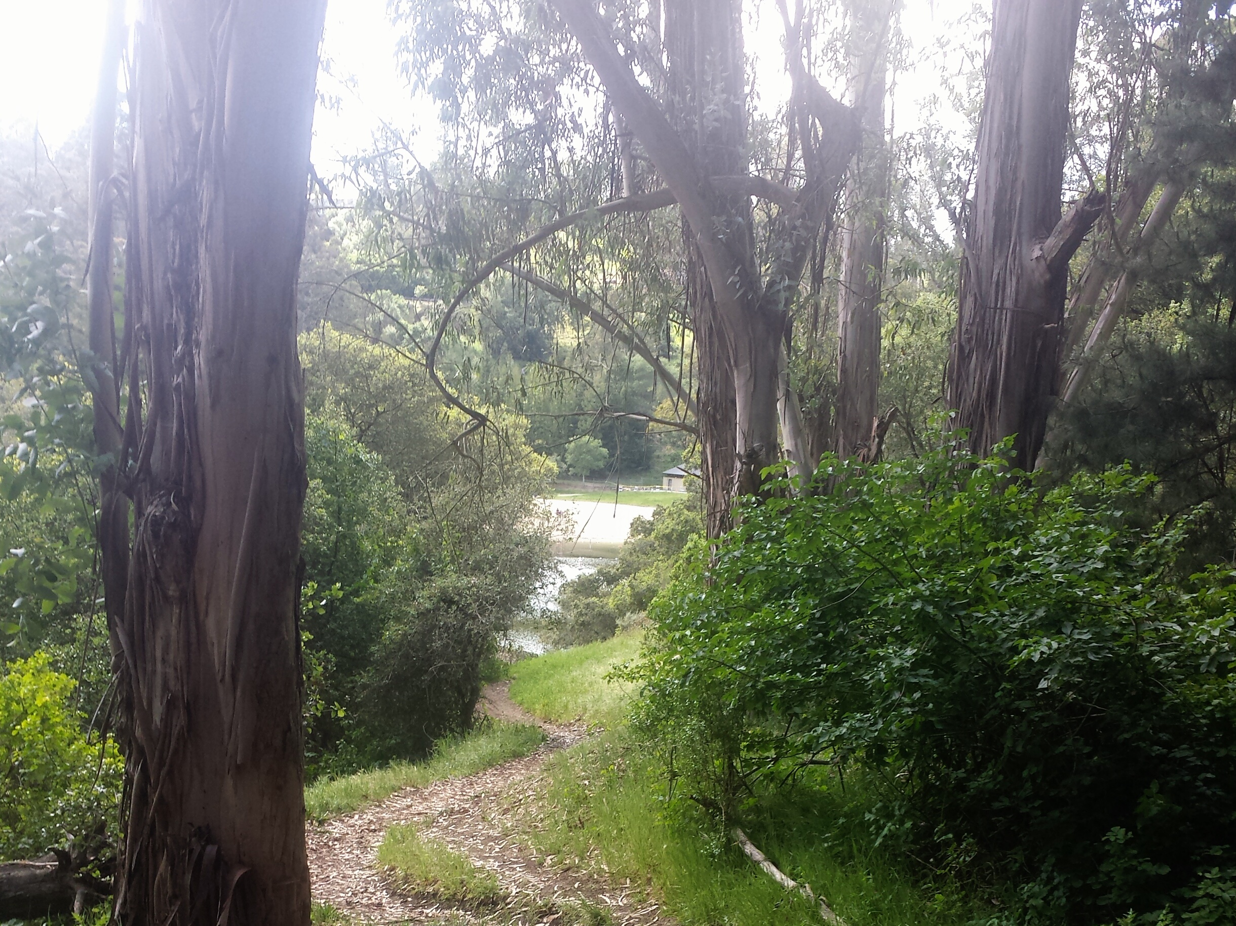
Shortly after the link marker we came to our first bridge, a really nice surprise. I don’t know why, but I really like small bridges in the wilderness. I like to imagine Trolls collecting tolls, or a wizard saying, “You Shall Not Pass!”

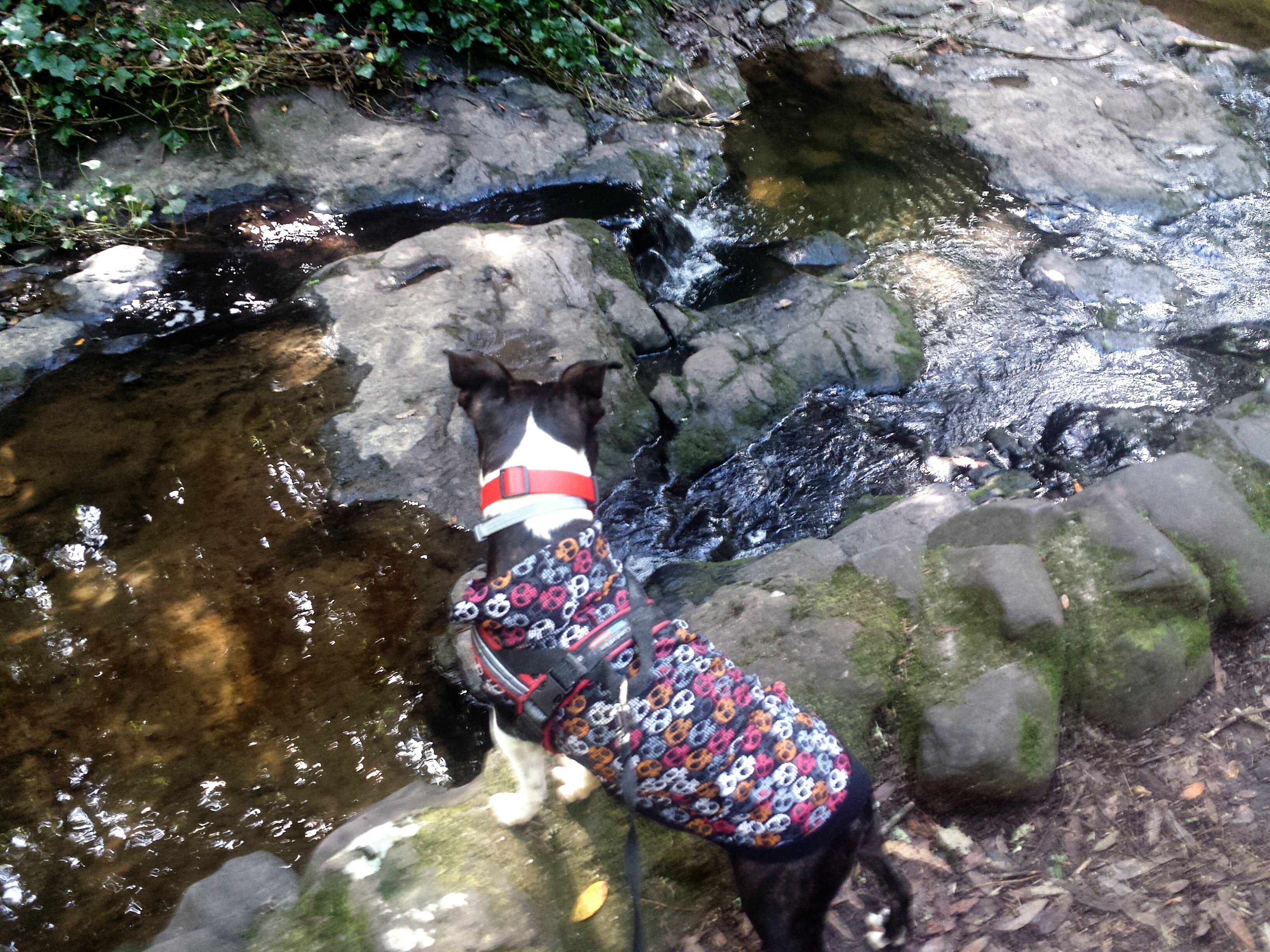
It was one of those days when Chico was just crazy to sniff everything, and now that we were along the creek, I still kept him on leash as he just really wanted to go sniff it’s edges, but I wanted to respect the “No Dogs In Creek” rules. He doesn’t actually go into the creek, but has made it a game to run to the edge of it and tease me! Plus, I was nervous about trout fluke giving salmon poisoning disease, we have to take time one day to train Chico specifically for this, he is still young and wants to lick everything! And I don’t even know what to look for. it’s always a learning experience!
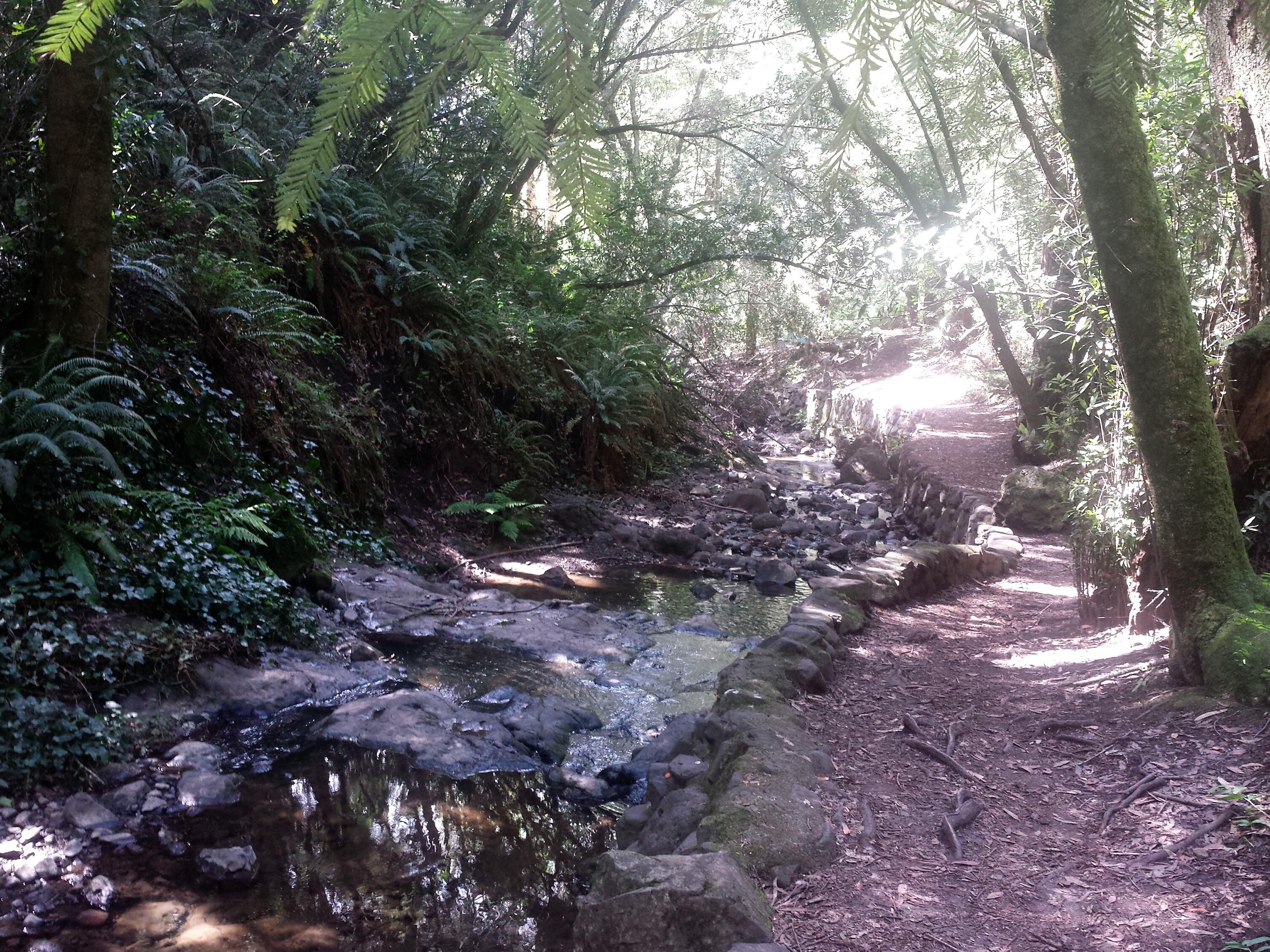
Most of the creek has very little water, with old man made walls pointing out how things might have been before the drought.

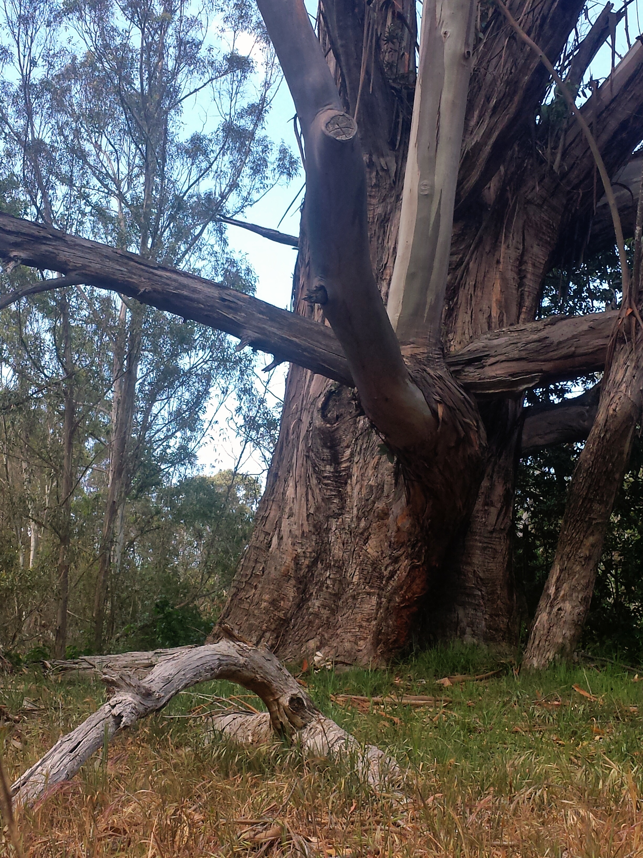
There were also lots of moss covered tree stumps and tree trunks, as well as fallen trees laid out in beautiful symmetry and patterns.


I was thinking how happy I was that we came out and adventured, when we came to our second bridge, and I thought that the tree next to it looked like a clawed hand beckoning us.

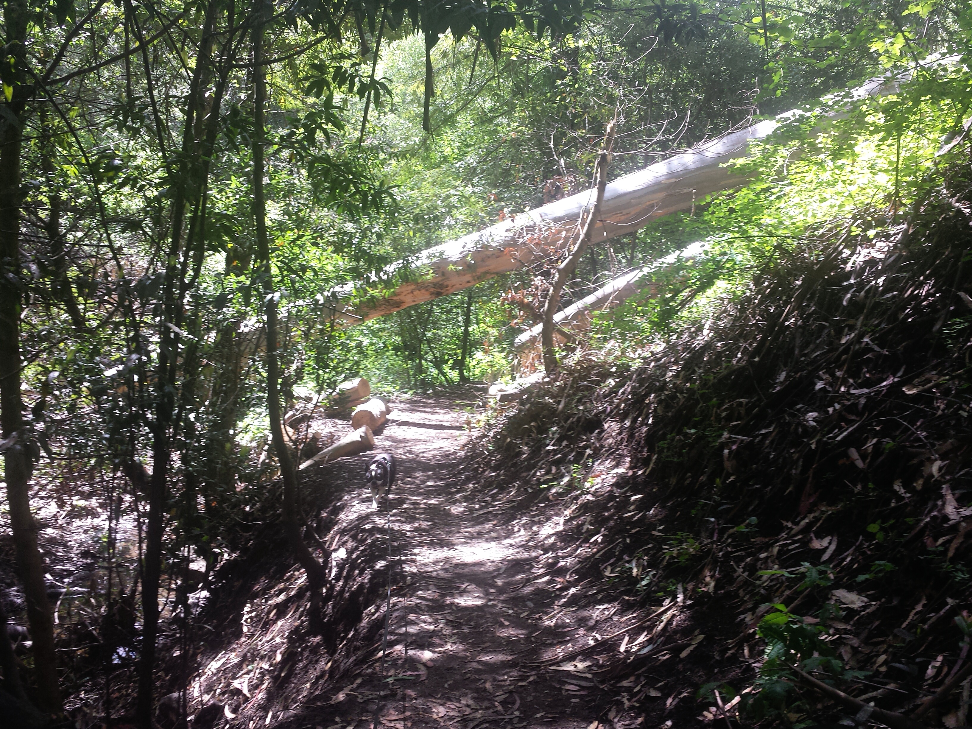
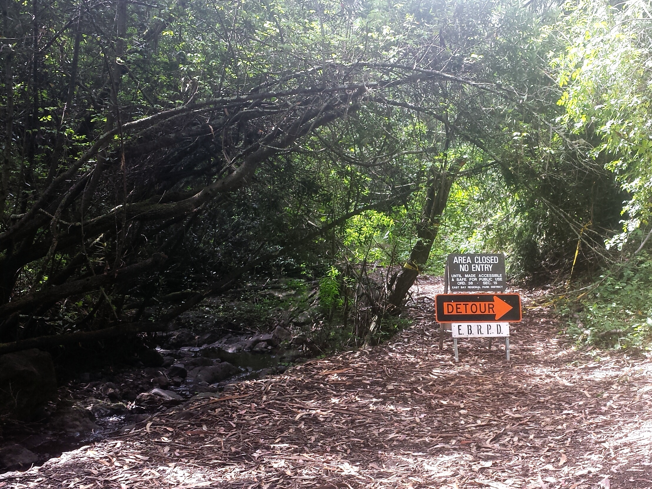
The trail then widens and runs along the creek some more, and you get to a point where there are a few different directions to go all within maybe 50 feet of each other, and there was also a detour sign in the large open area by the creek which I thinks was still the trail we already on. Nothing is actually marked here…except some equestrian trails with no names, and the detour.

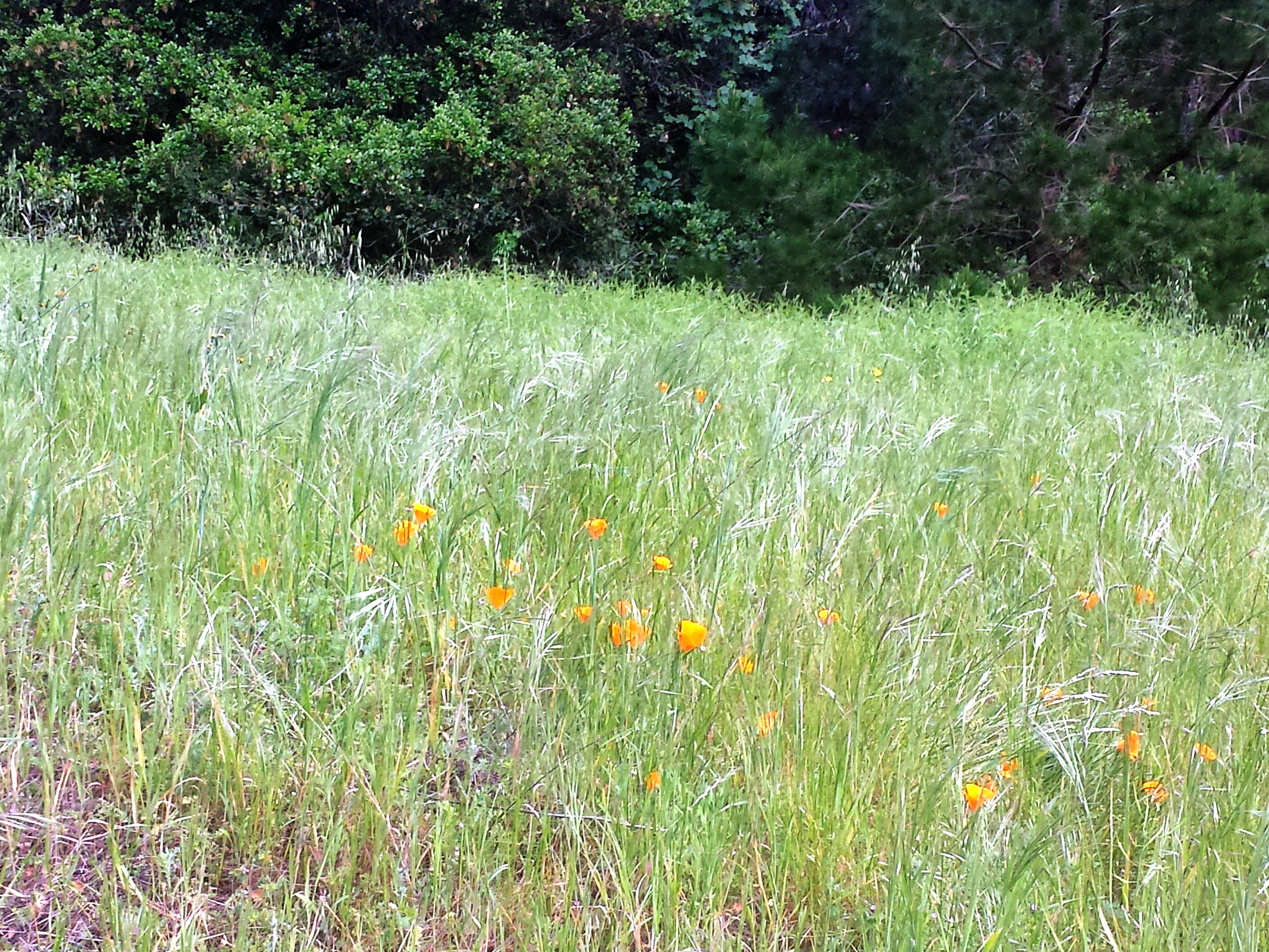
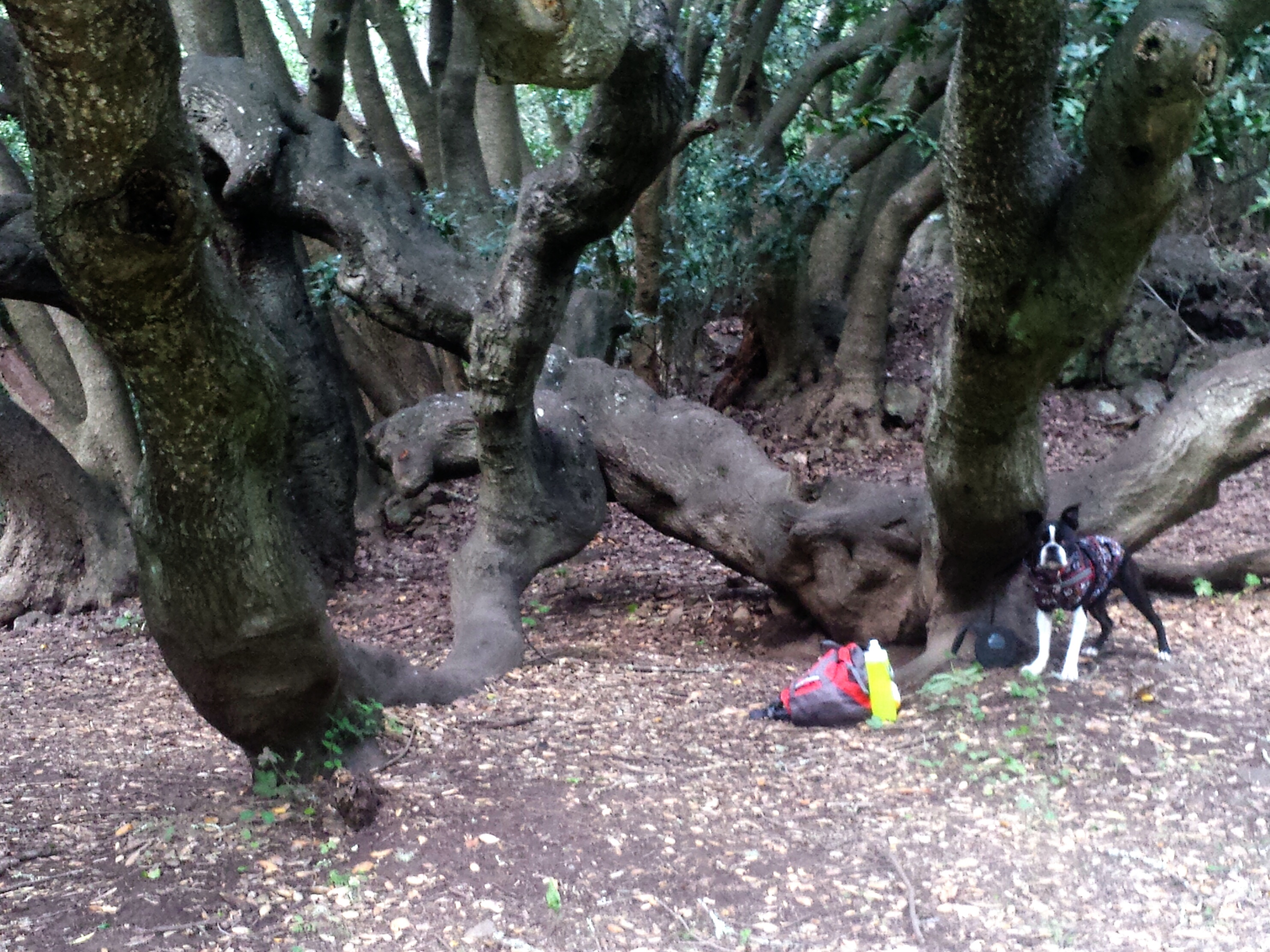
We decided to take the wide open trail, and 3/4 of a mile later when we got to the end of it, found out it’s name was Mineral Trail, if you want, this trail will loop back to itself where you originally got on it from Wildcat. From Mineral Trail you’ll catch many glimpses of Lake Anza, and small paths going down to it. Also some wild flowers in wide open green areas, and some cool old trees that looked magical and like they belonged in Mirkwood Forest from The Hobbit and Lord of the Rings.

 .
.
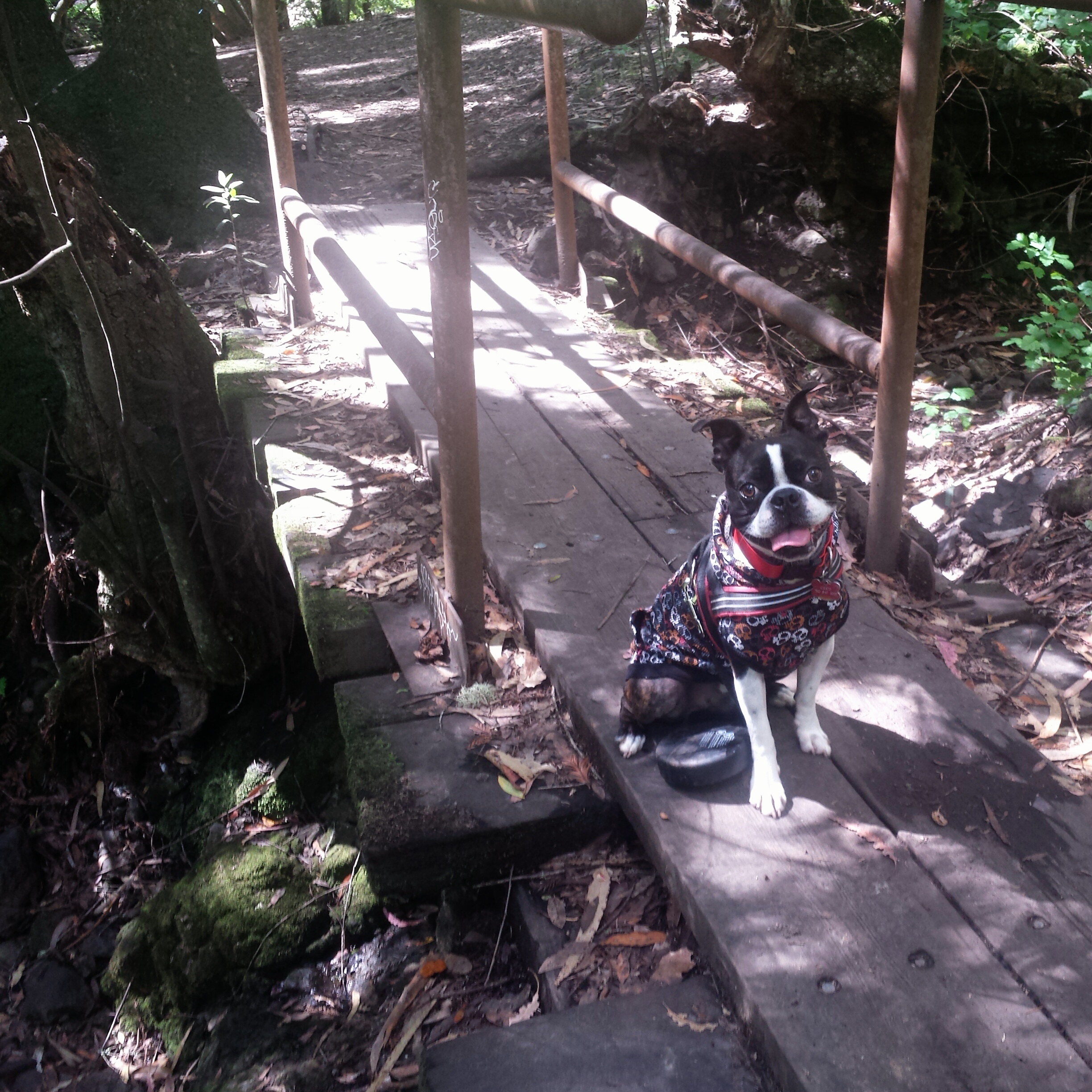
After we doubled back, we took the detour, and I have to tell you, the detour seemed 100 times more dangerous than what ever was wrong with the trail by the creek! It was literally a trail of rocks and tree roots on a sharp decent, I had to climb/walk slow down, while Chico just magically flew over them! But he knows “careful” and “Slow” so came back to my side to watch the poor hooman. Sadly this is where my phone died. I tried to get a photo of the detour trail but it isn’t that great. I did get an ok photo of the 3rd bridge that you see from this vantage point.


It was also a bit rocky coming off that bridge, in fact if you follow the rest of what looks to be the trail, Lake Anza Trail I believe, it is super rocky and fun, including a really large rock that you climb through. It is at this point that I realize why there are so many small paths from Mineral Springs down to Lake Anza, though they are steep, they are not steep and rocky:)
There are many scenic areas down by the lake, great places to picnic, or just take in the view while catching your breath. The elevation changes I think were only about 300 feet, but the brief steep rocky ascents and descents make it seem like more. I will go back and get more photos, and complete the loops with mileage, and more info. It can get a little confusing about which trail you are actually on, but you always know where you are at because Lake Anza is always in the background. There are usually maps available at the parking areas.
Happy Adventuring!


Nice
LikeLike