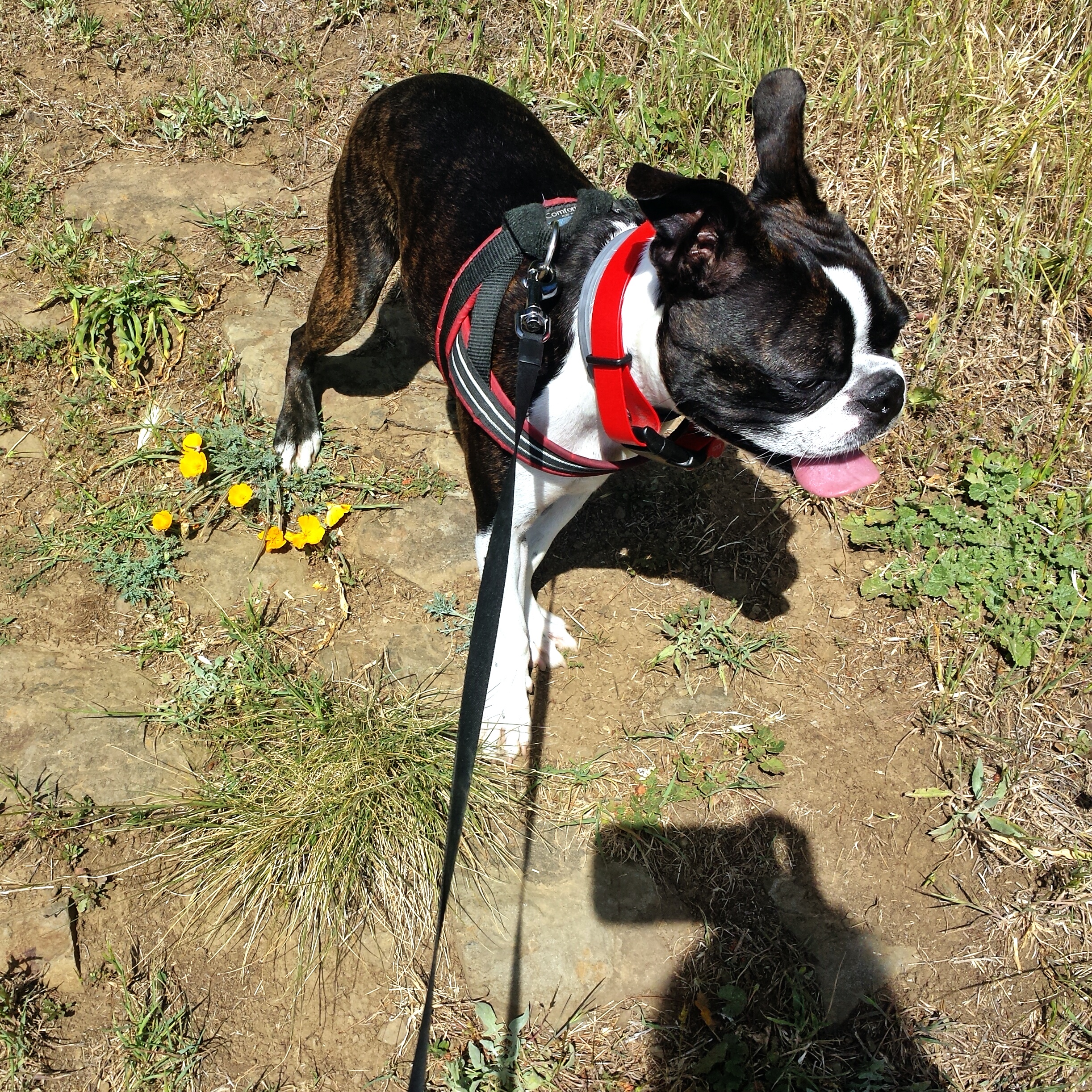
I created this blog to encourage people to get out with their dogs and exercise, as not only is it great for both human and canine, it also solves 90% of behavioral problems in dogs, and they are less likely to be abandoned or surrendered to shelters. But I know a lot of people are crazy busy, and some are more caught up in the miles and time, than the actual beauty.
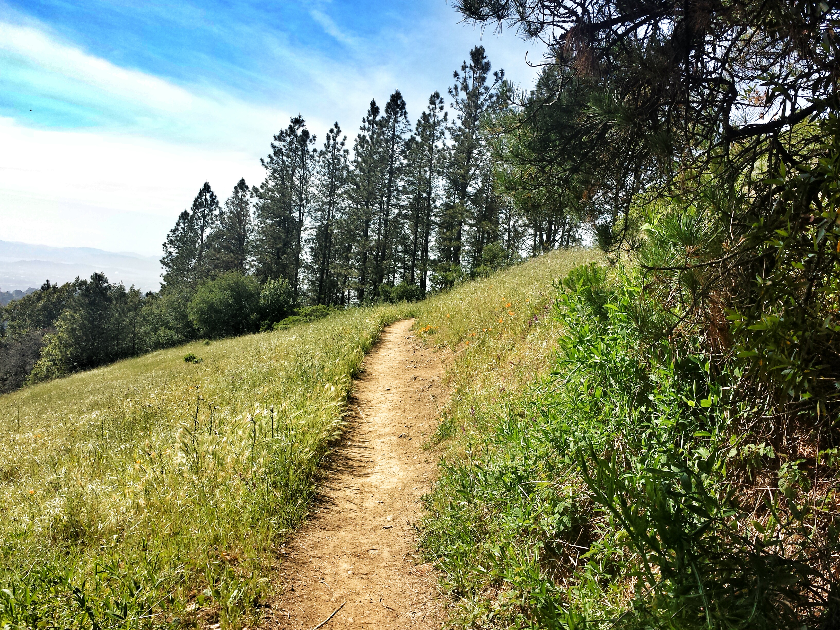
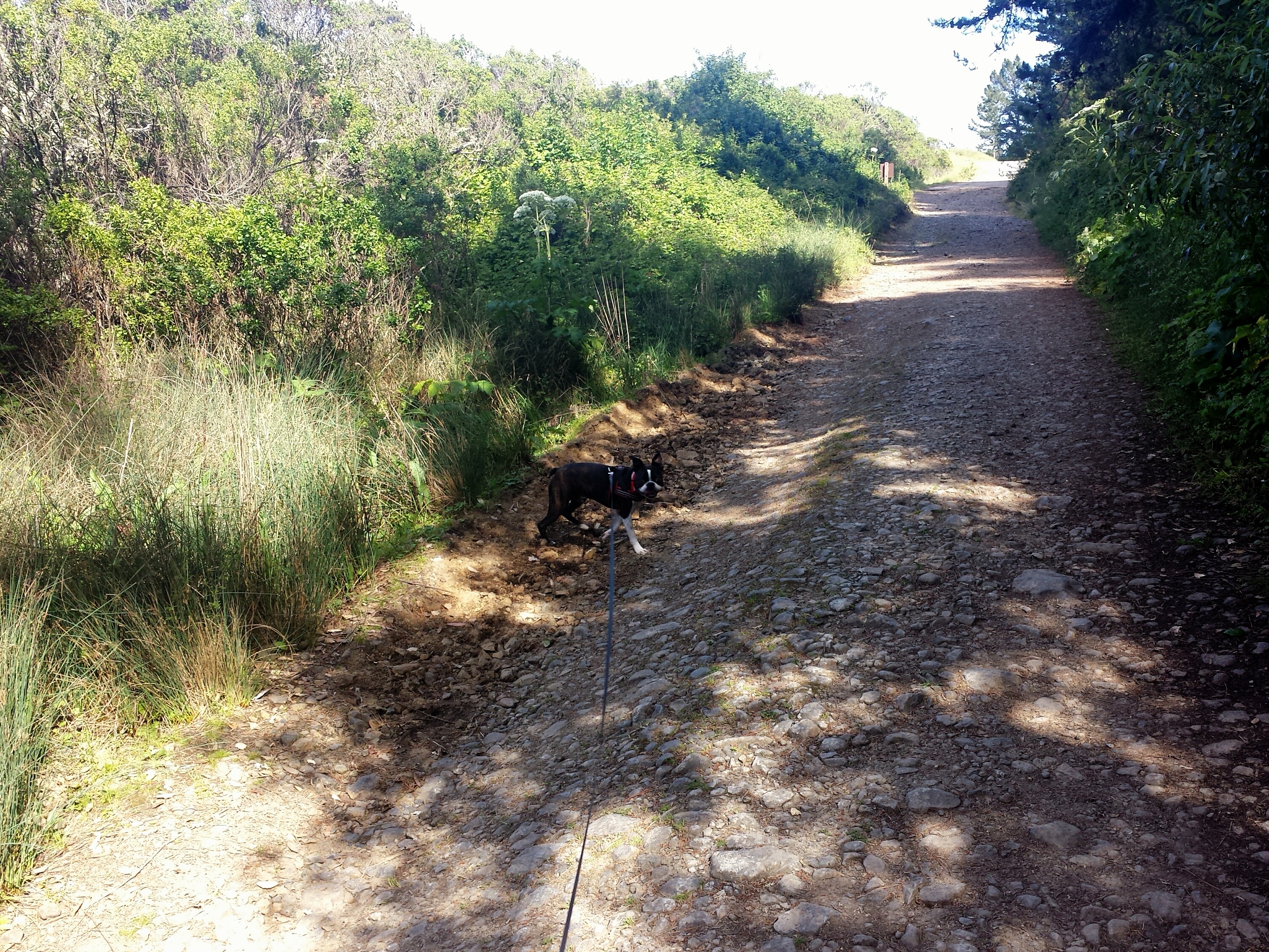
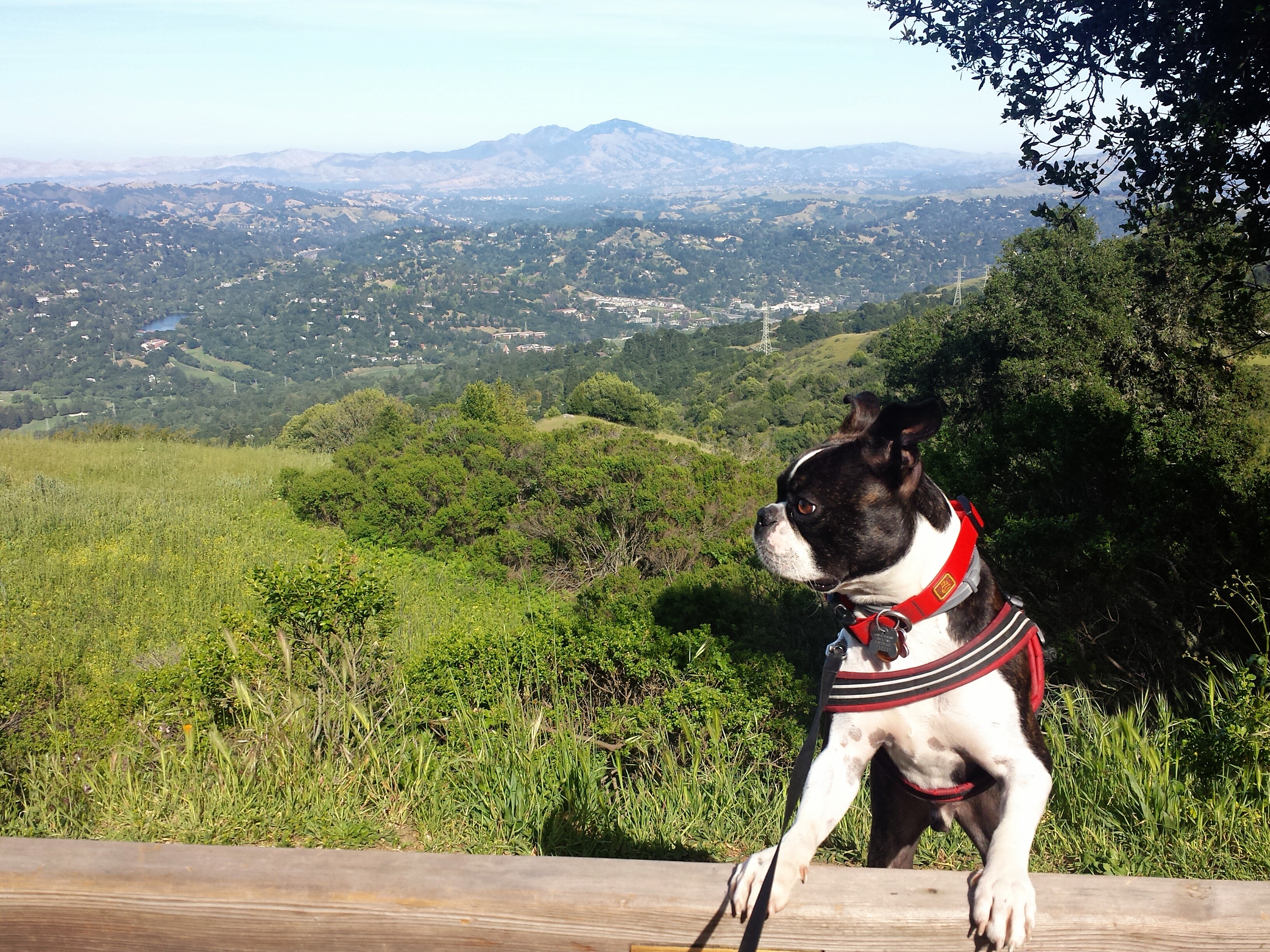
The trail head for this 2 -3 mile loop is less than 5 mins from the 24, and though it’s short it has a good amount of elevation changes, different terrains, wild flowers, different things for your pooch to sniff, amazing views of The Bay, Mount Tamplais, and Mount Diablo in the distance. It’s absolutely beautiful, I took so many photos! It’s better to get out for a little bit, than not at all:)
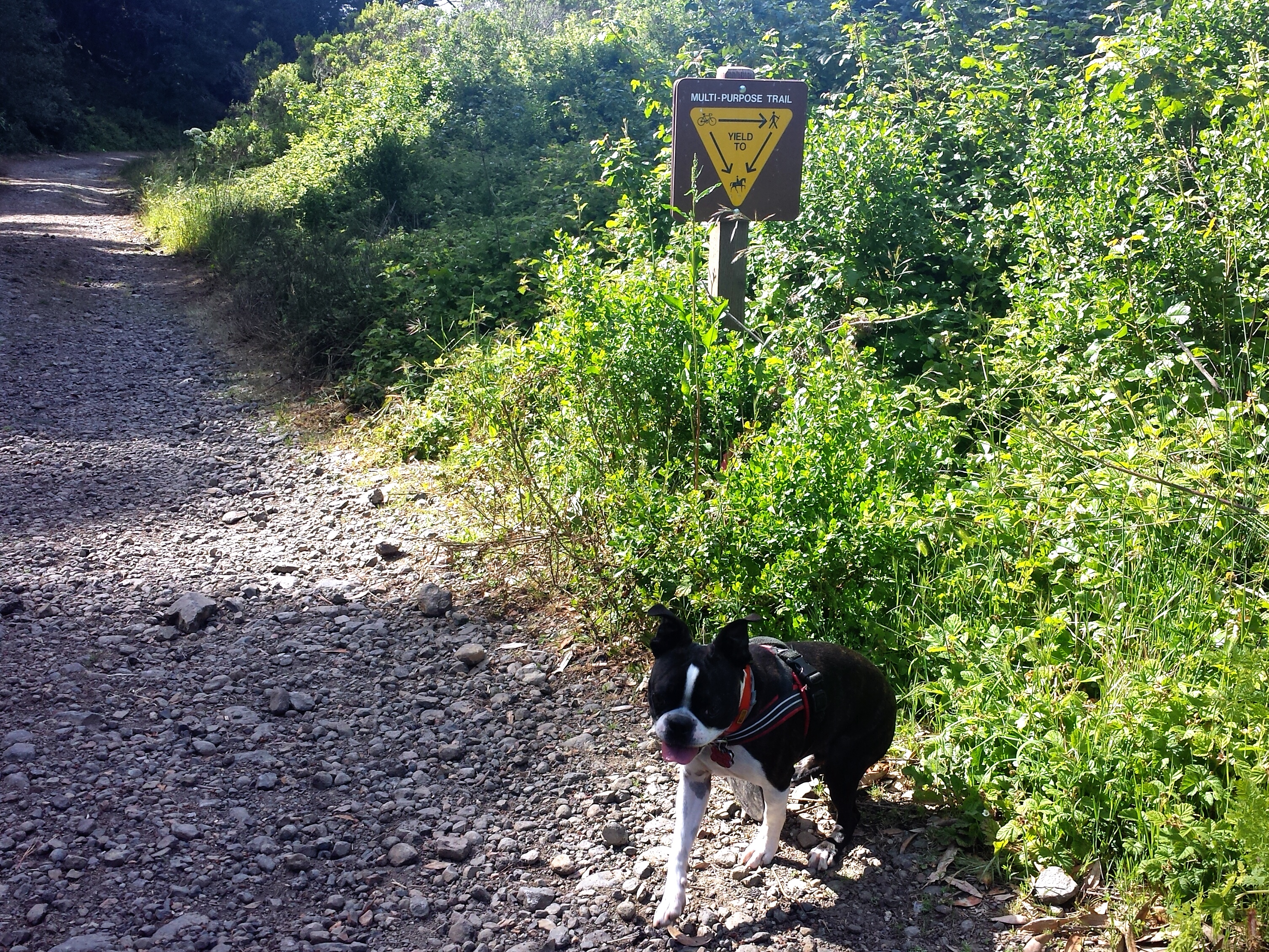
And of course like most Tilden trails, one can easily extend this hike via other loops and out and backs 🙂 Oh also, watch out for Poison Oak.

You’ll want to go to the Steam Trains Staging Area off of Grizzly Peak Blvd which you can get to many ways, but the 24 is is 5 mins away. The first lot on the left has a bathroom and water, the trail head parking lot is about 100 feet past that, you’ll come to a fork, stay right at the fork, and there is a huge parking area, with a porta john. The “you are here sign” is visible from the fork. You’ll see a paved trail to the right, but you want the dirt trail at the end of the parking lot for this loop.
***If you want to take a dog mobile/stroller friendly option to the top of Vollmer Peak, take the paved trail instead which is Seaview Trail..heads up, it can be quite steep in places, you’ll still see many amazing views. and my full loop covers these portions. Depending on how much walking around you do at the top, it’s a bit under 2 miles. There is a portajohn near the top as well.

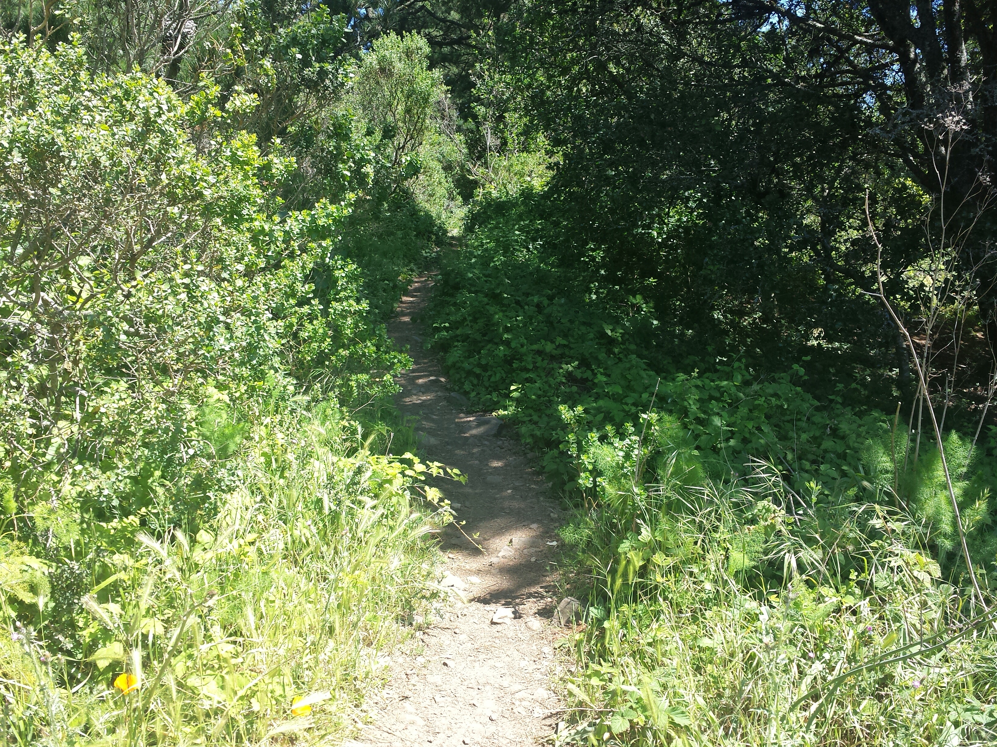
You’ll soon come to a sign that points to Vollmer Peak Trail in two directions, stick to the right. This trail will be equal parts sun and shade.

A bit further you’ll come to another unmarked fork, there is a side path to the right that takes you up to just below the peak for some amazing views.

When you get just below the top, there is enough space to picnic if you want

From this spot there is a also single track trail, if you take this short trail, you will come to a paved path that you can take to the top of Vollmer Peak where the radar towers are, or you can catch the paved path later. If you take the single track path to Vollmer Peak and return to the original Vollmer Peak path you started out on, it adds about a half mile to put you around 2.5 miles total for the loop. You could also choose to just take the paved path all the way back to the parking area if you are pressed for time. Or skip going to the peak all together putting the loop at just under 2 miles.

Radar Tower at the end of this steep shady paved trail.
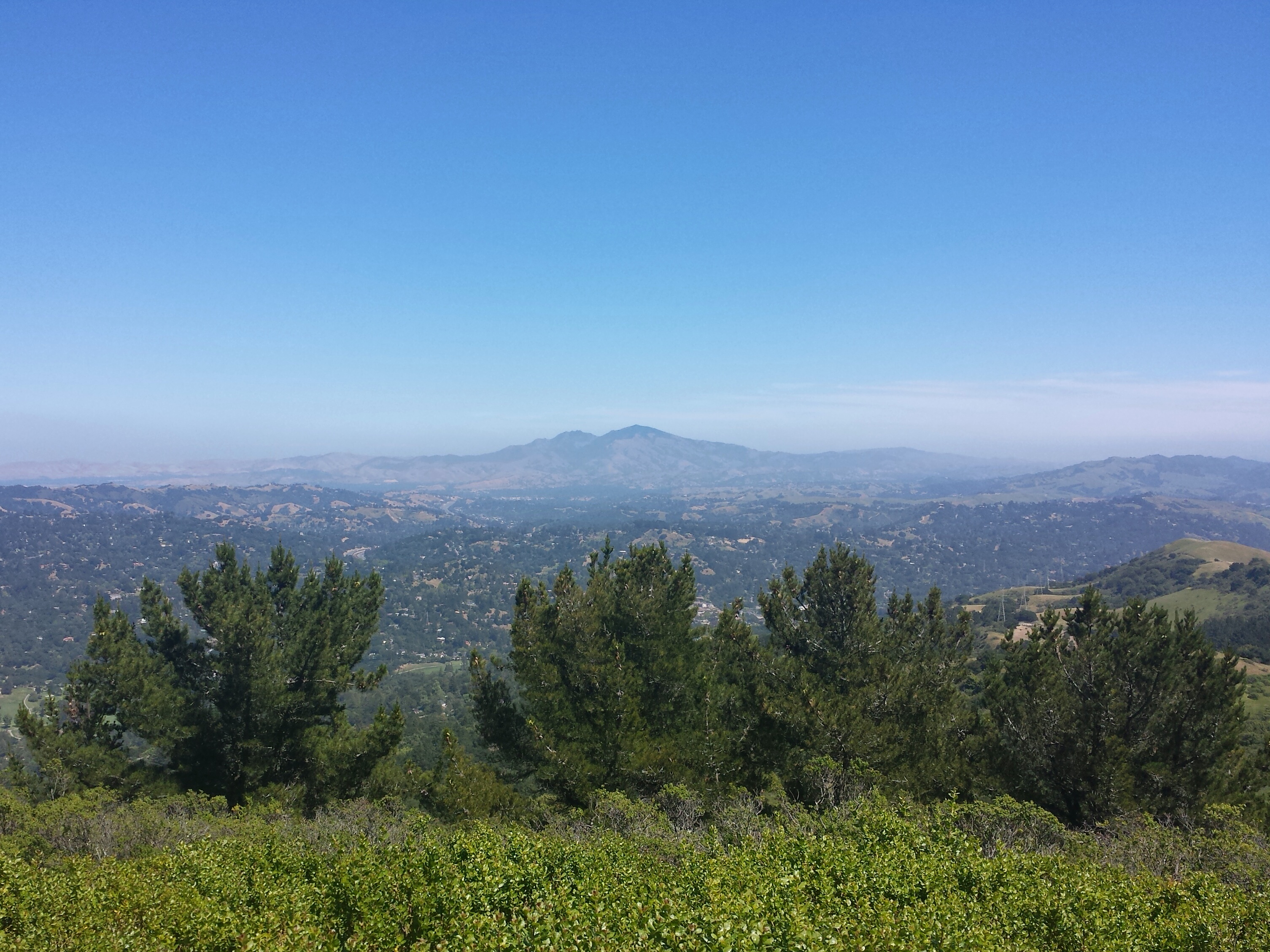
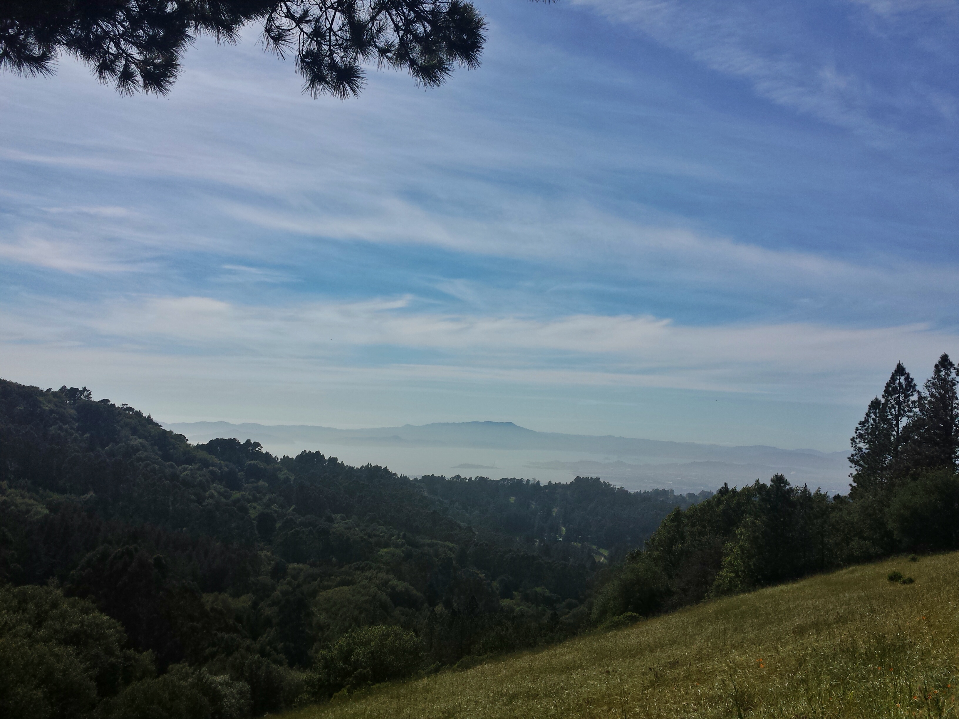
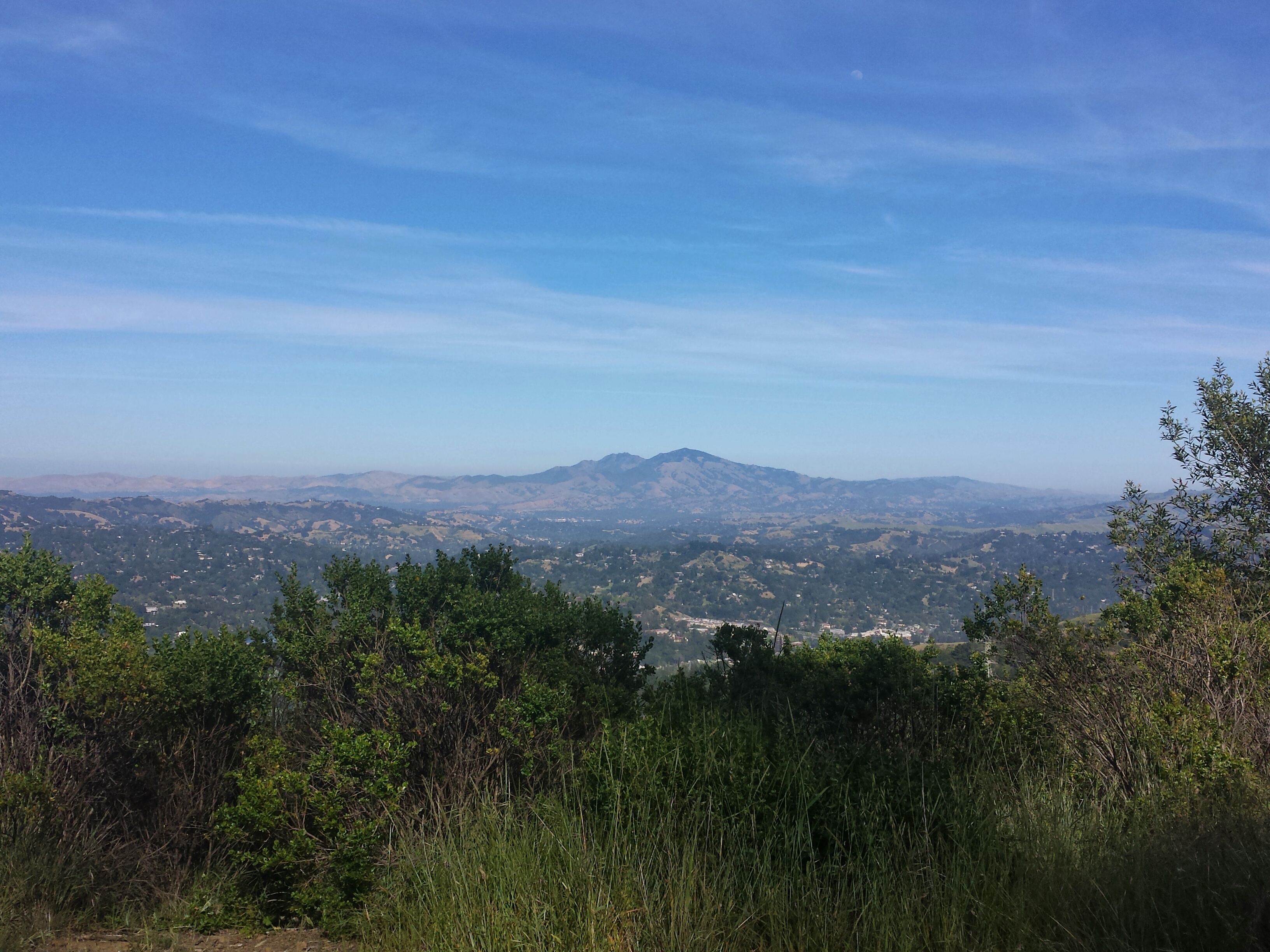
Top of Vollmer Peak, Amazing View of Mount Diablo
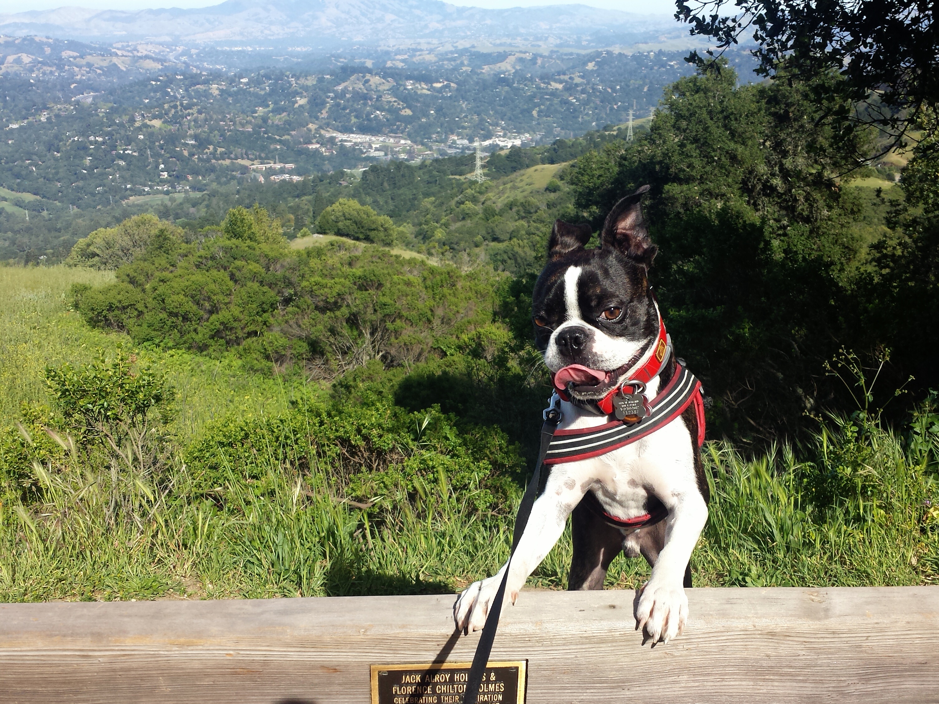
Amazing views at the Top of Vollmer Peak!
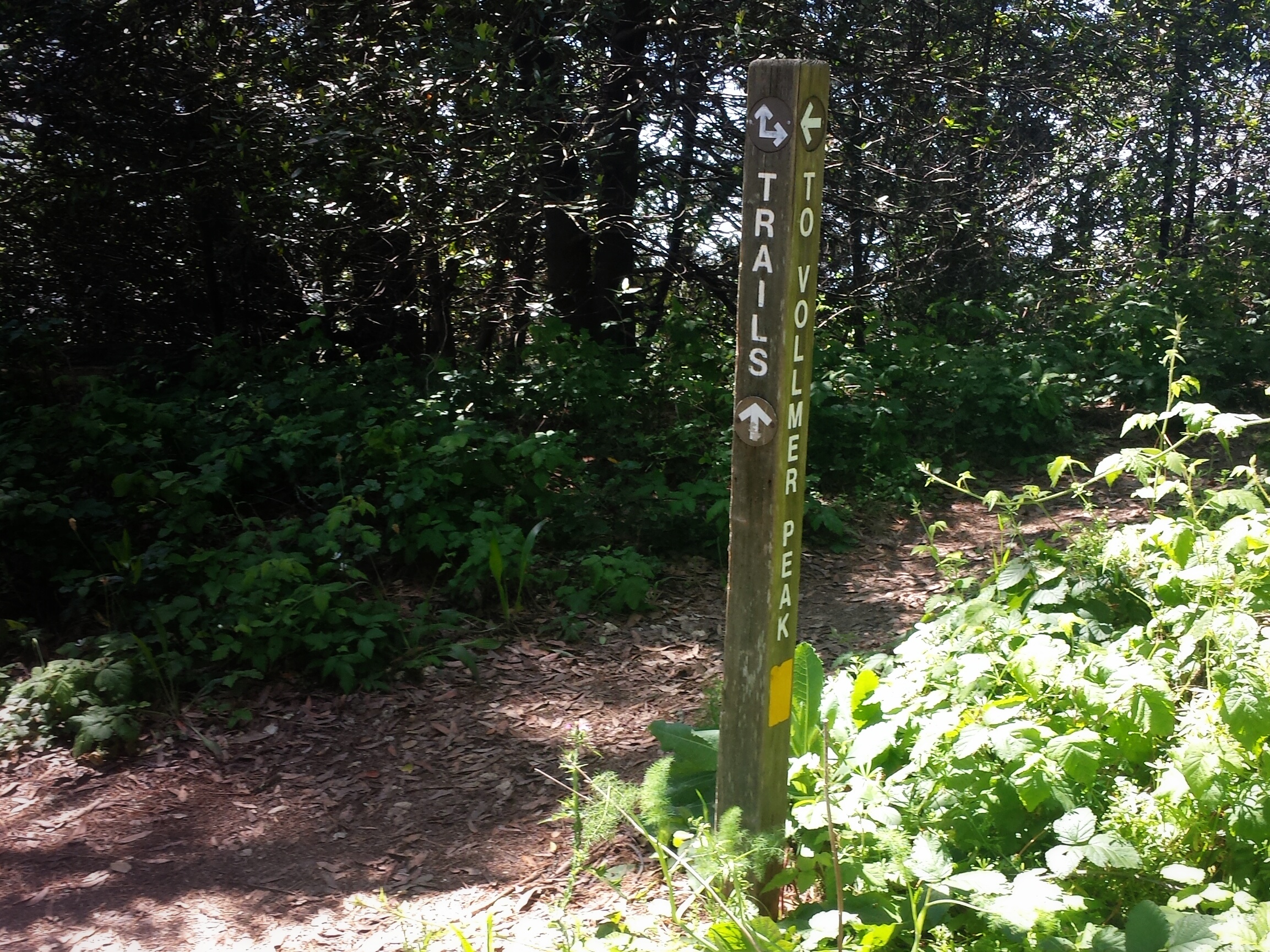
When you come back down the paved path, look for this trail marker on the left to go back to the original Vollmer Peak trail that you started on.
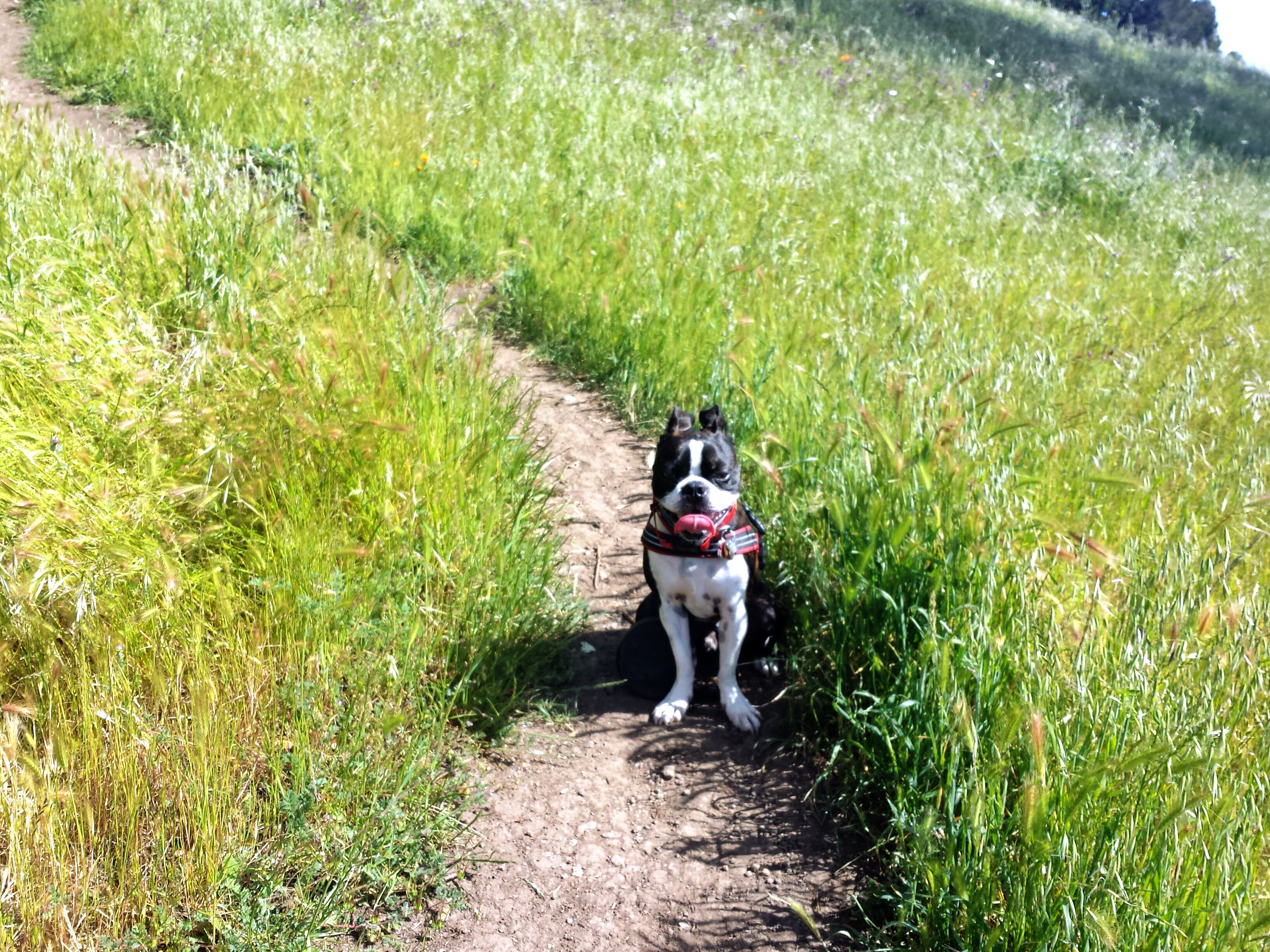
For this loop I came back down the single path and took the other short path on the right down to the original Vollmer Peak Trail I came from ( opposite of the short path we took up) you can always see your destination these foot paths are short. The other path down had some fun rocky spots.
But then settles down into a flat path.


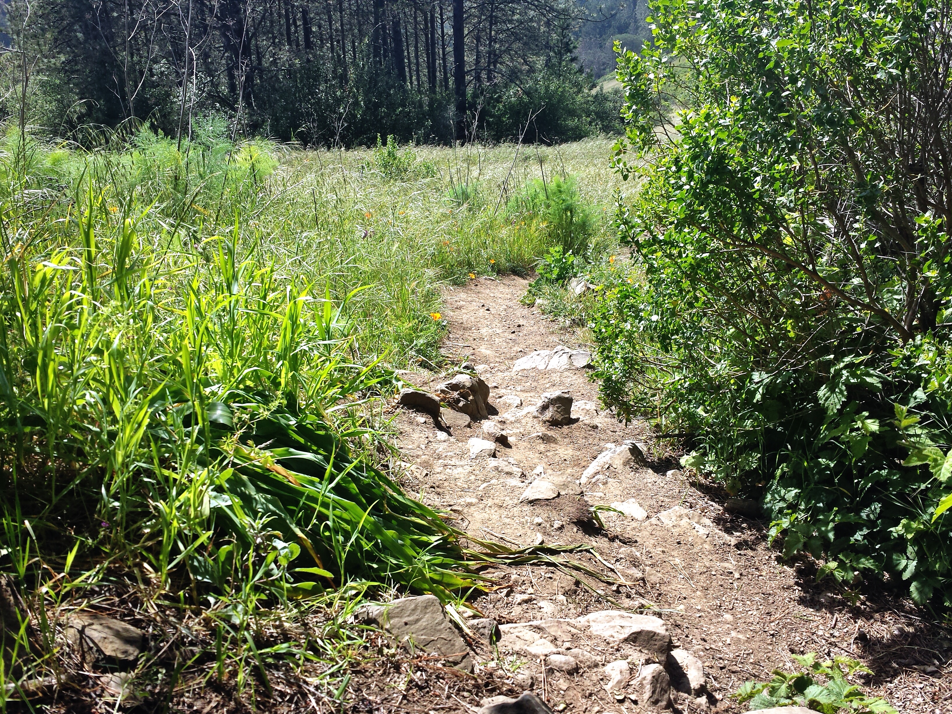
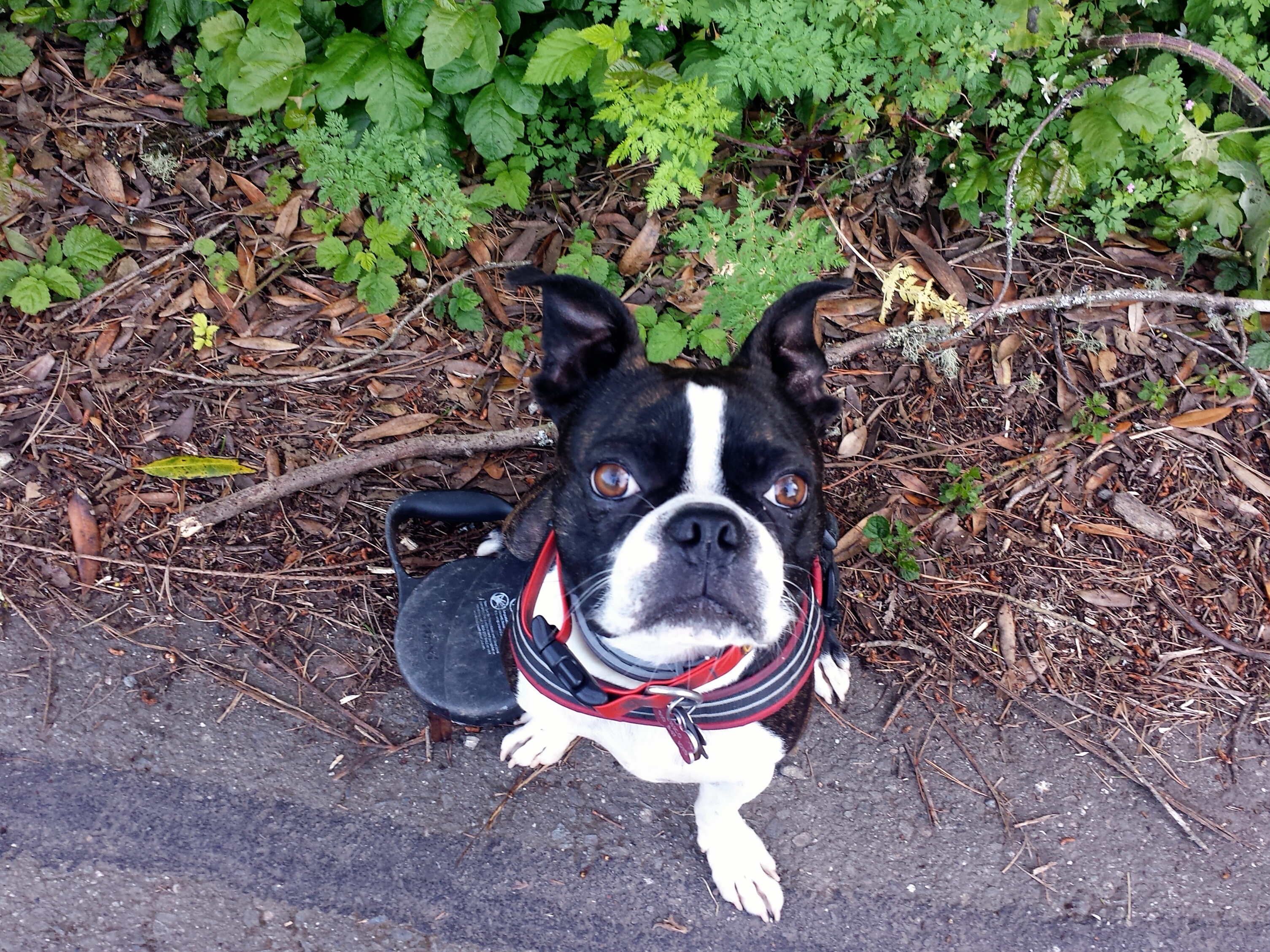
A little ways down and you will come to a Lupine Trail sign…which I accidentally deleted the photo of. You’ll have your choice of left or right, for this loop we went right. A few yards onto Lupine Trail I stepped in some shade, and this little guy was there

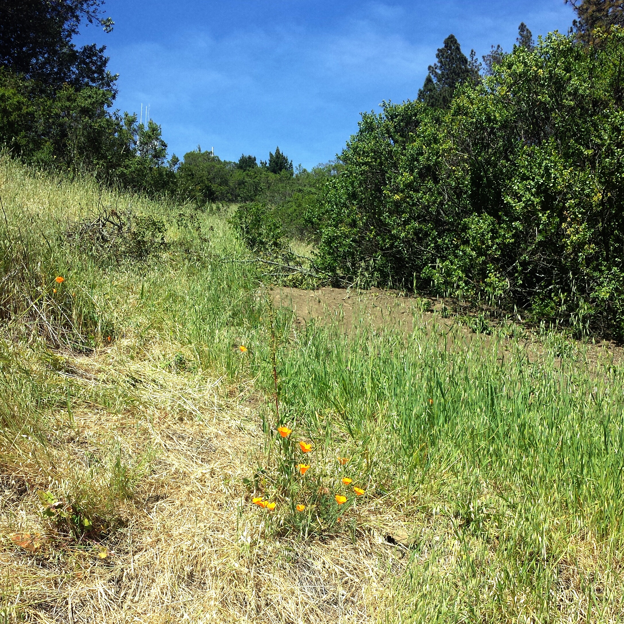
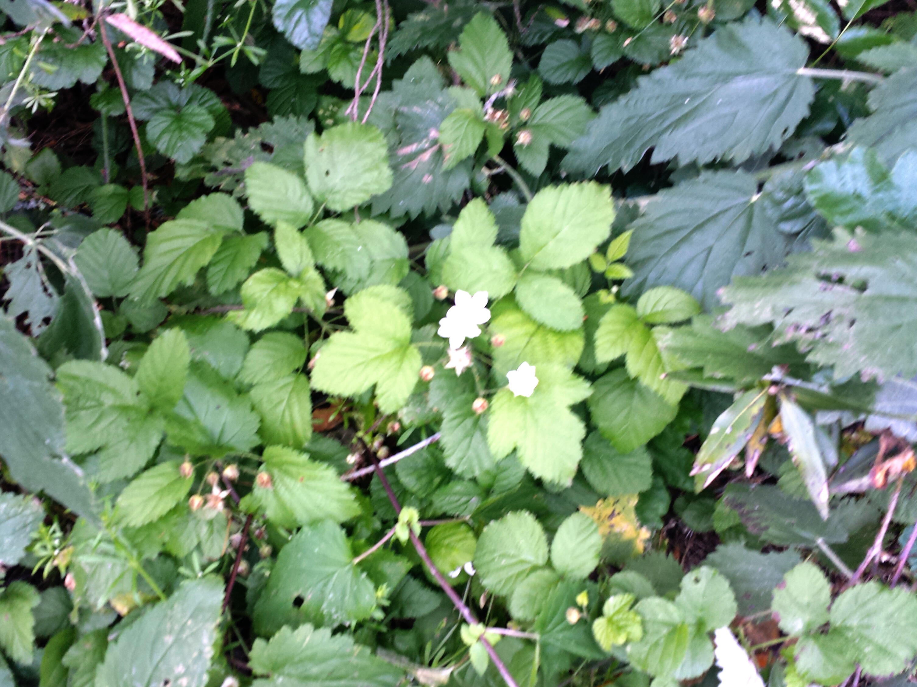
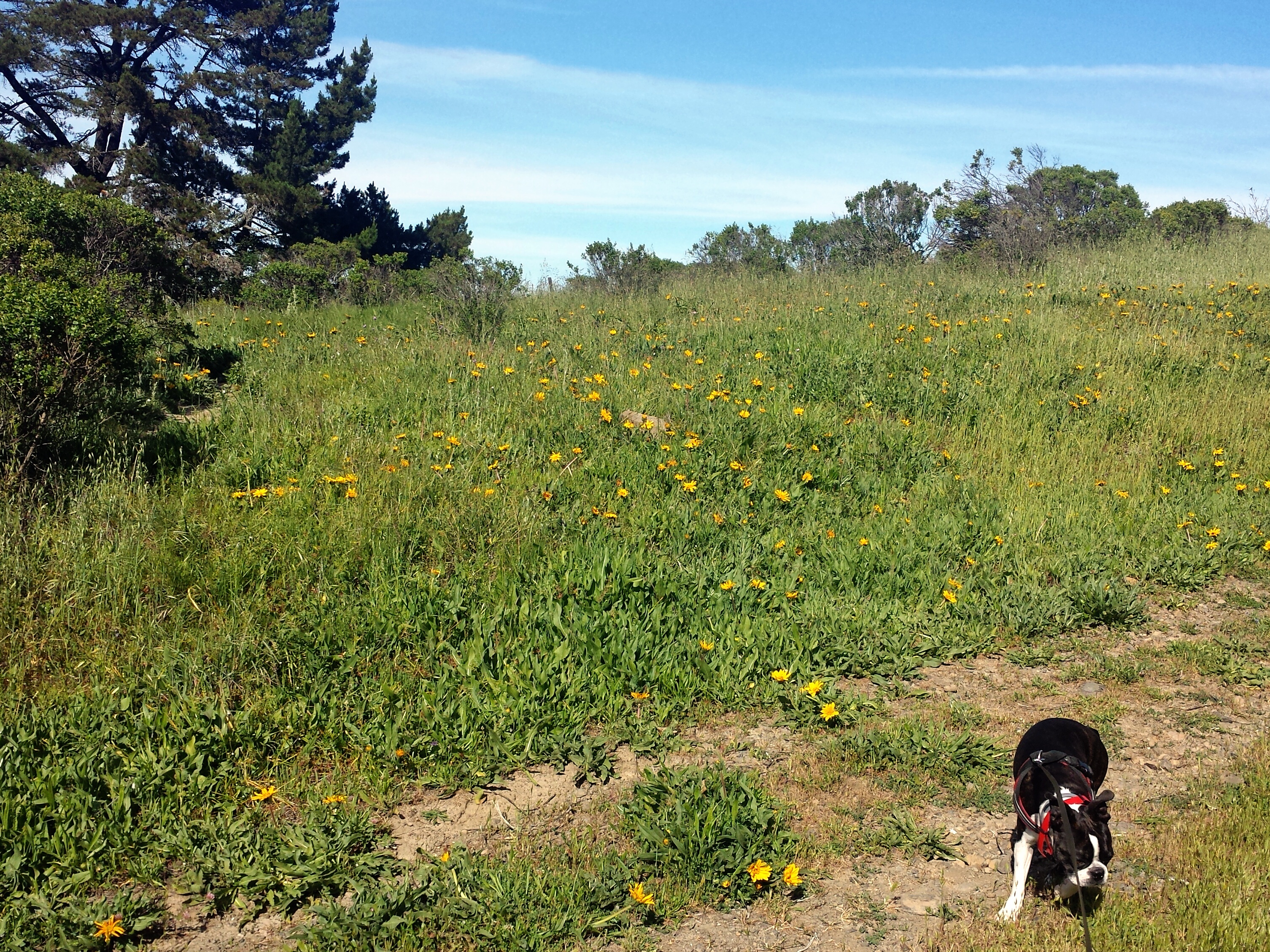
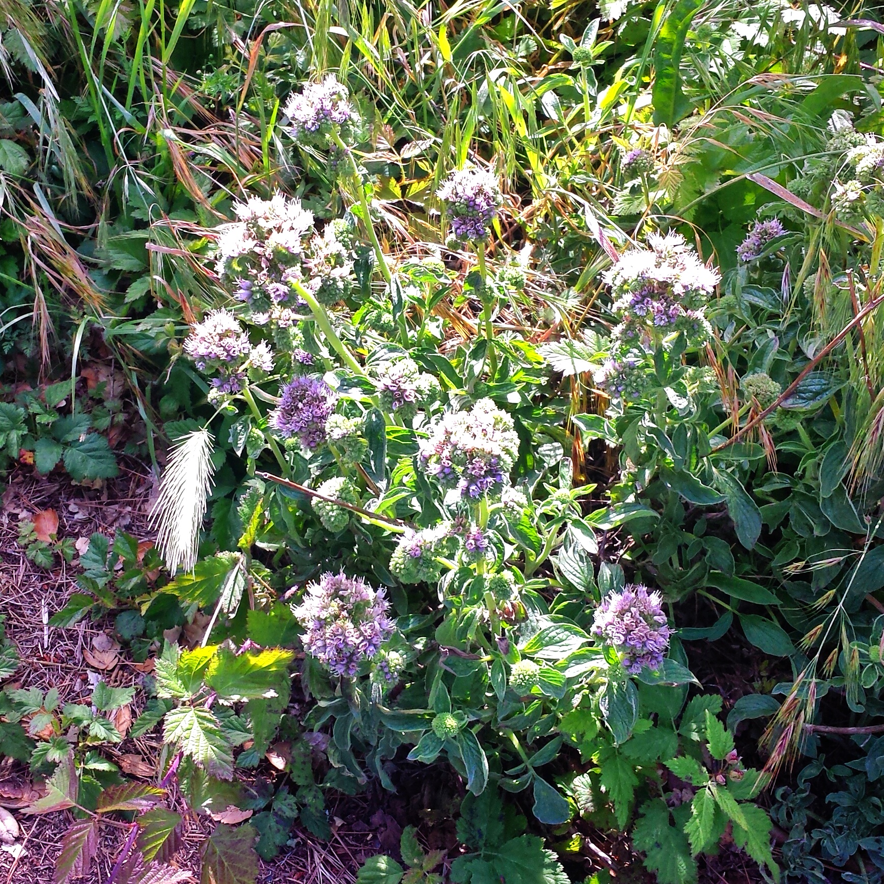
This path has more wildflowers


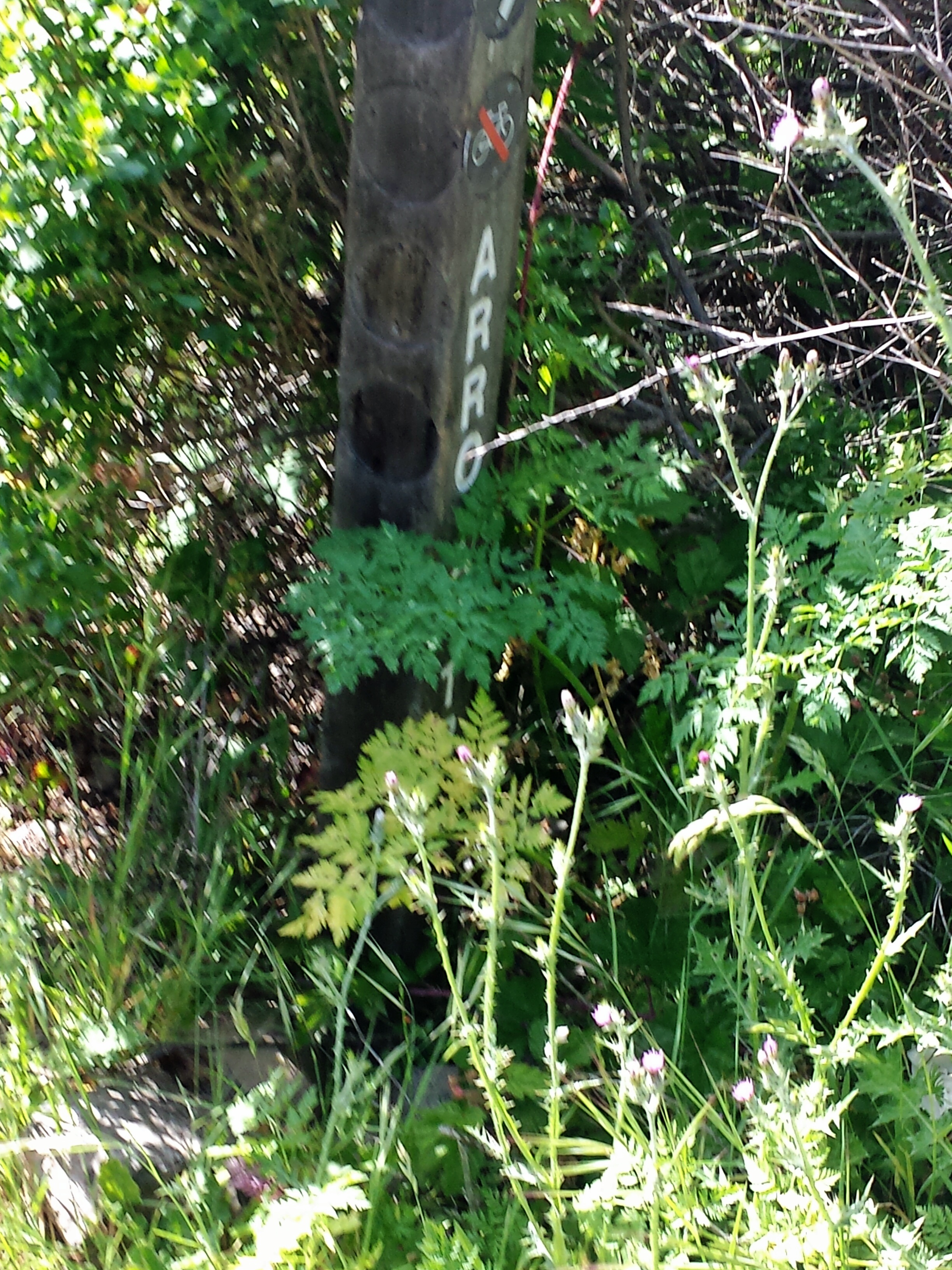
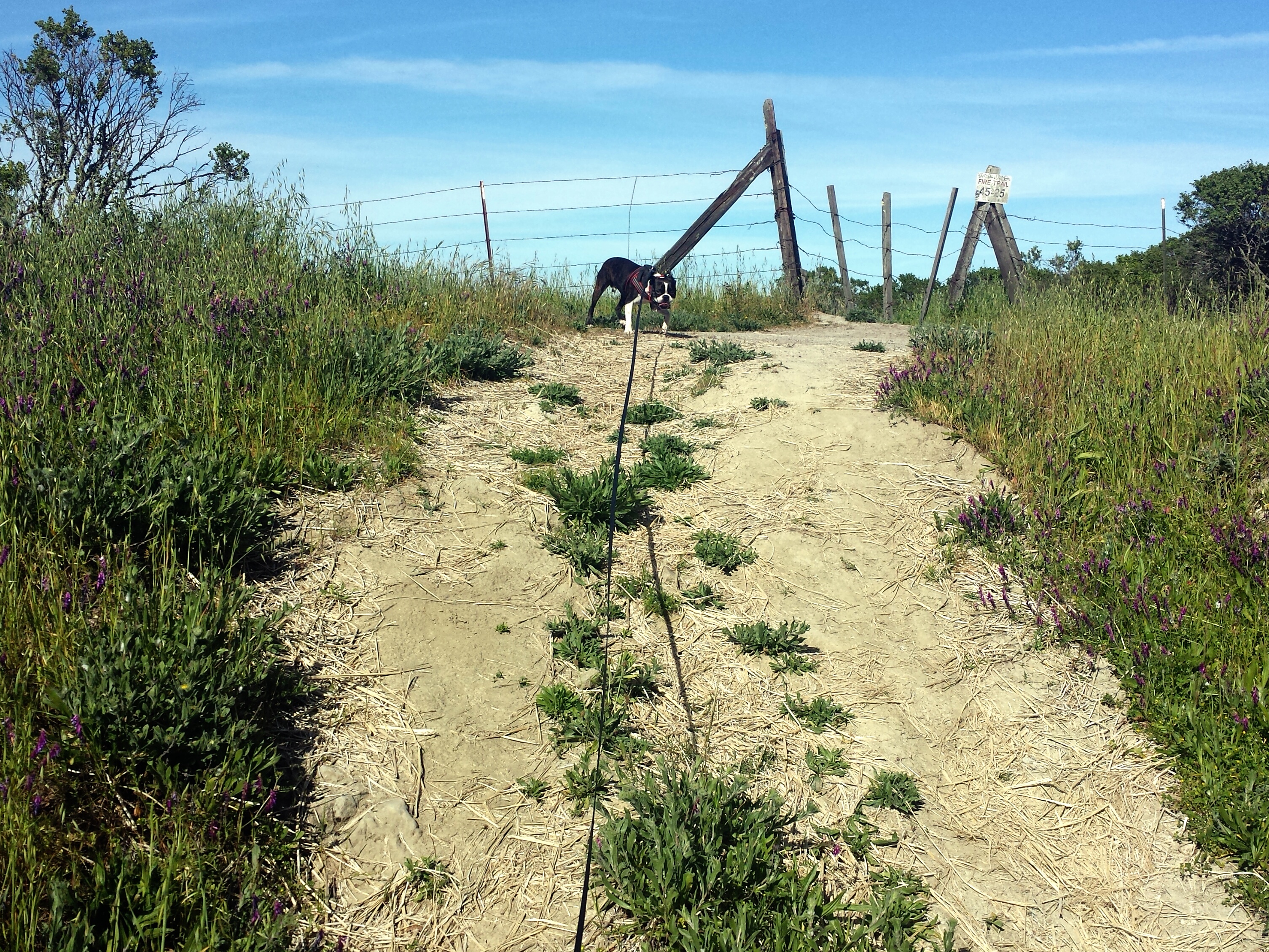
The path will eventually run into a wide open fire road, you can’t miss it, there will also be an Arroyo Trail sign taken over by nature on the left, turn right on the fire road, which is Seaview Trail, or will become Seaview Trail, and also part of The Bay Area Ridge Trail. Sections of Vollmer Peak Trail and Seaview Trail are also part of the 1,200-mile Anza Trail that brought Spanish settlers to San Francisco from Arizona.
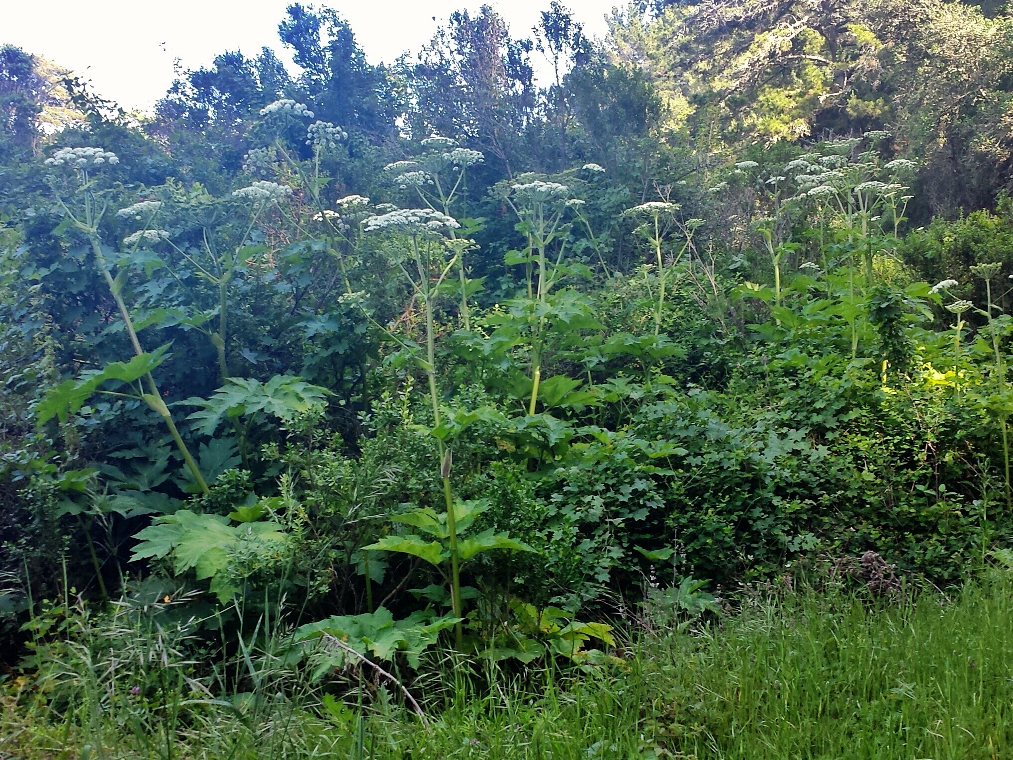
This part is mostly shady, and there are Giant Yarrow!


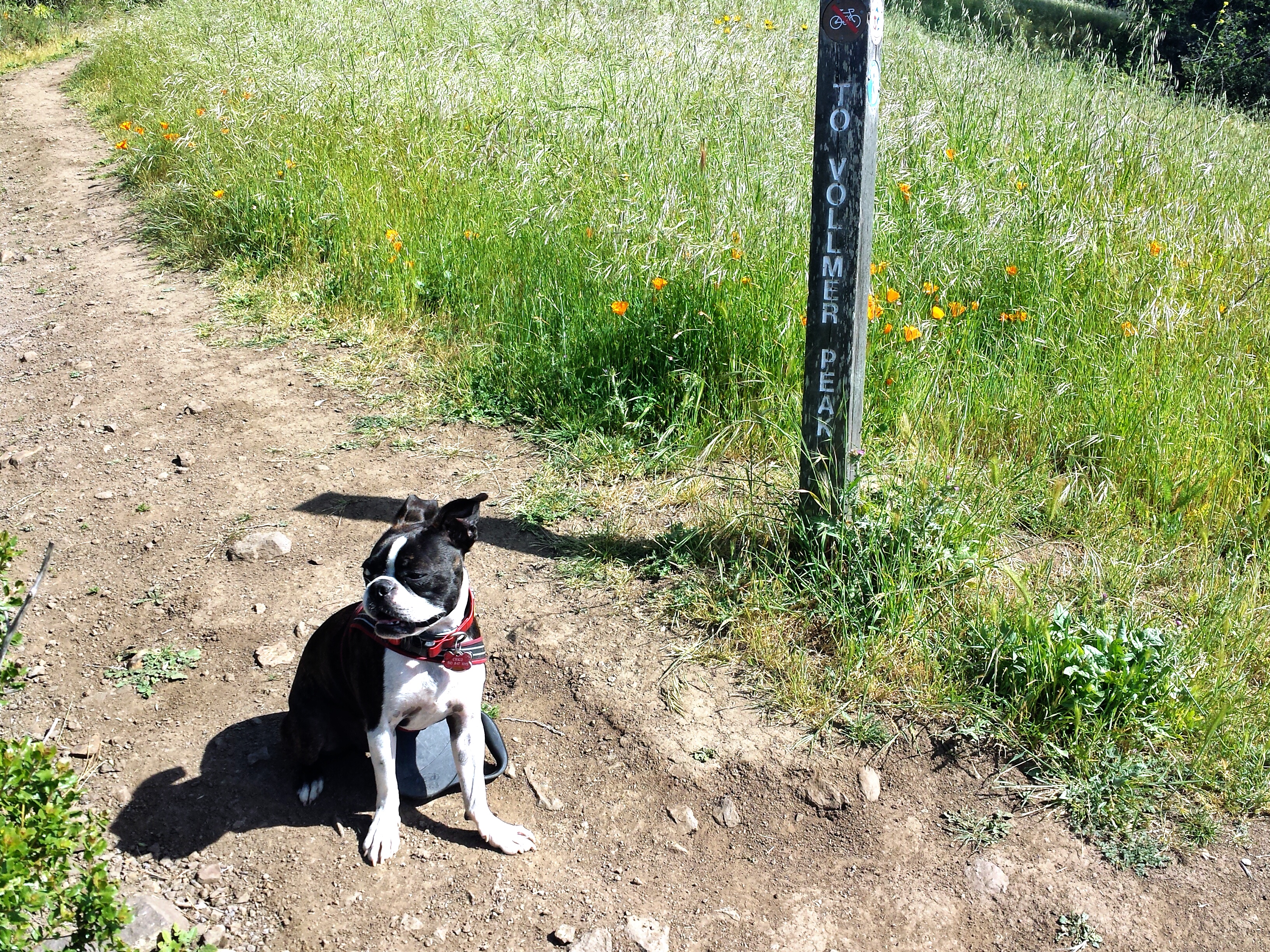
You’ll eventually run into the Paved path, if you turn right it will take you to Vollmer Peak, If you wait until you get to this path to go to the top of Vollmer Peak instead of using the earlier single track path option, it will add about 1 mile to the loop, bringing you to about 3 miles.
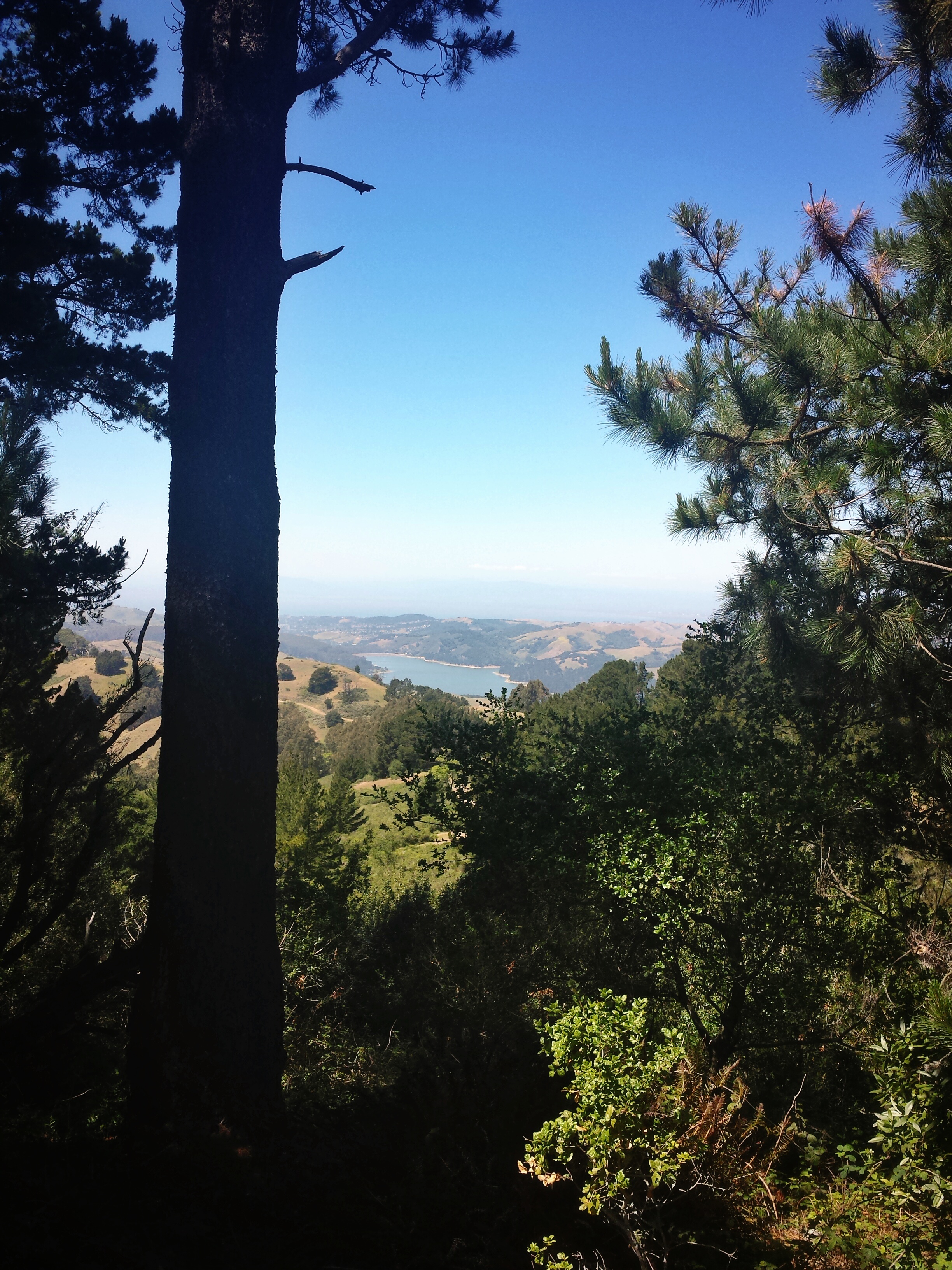
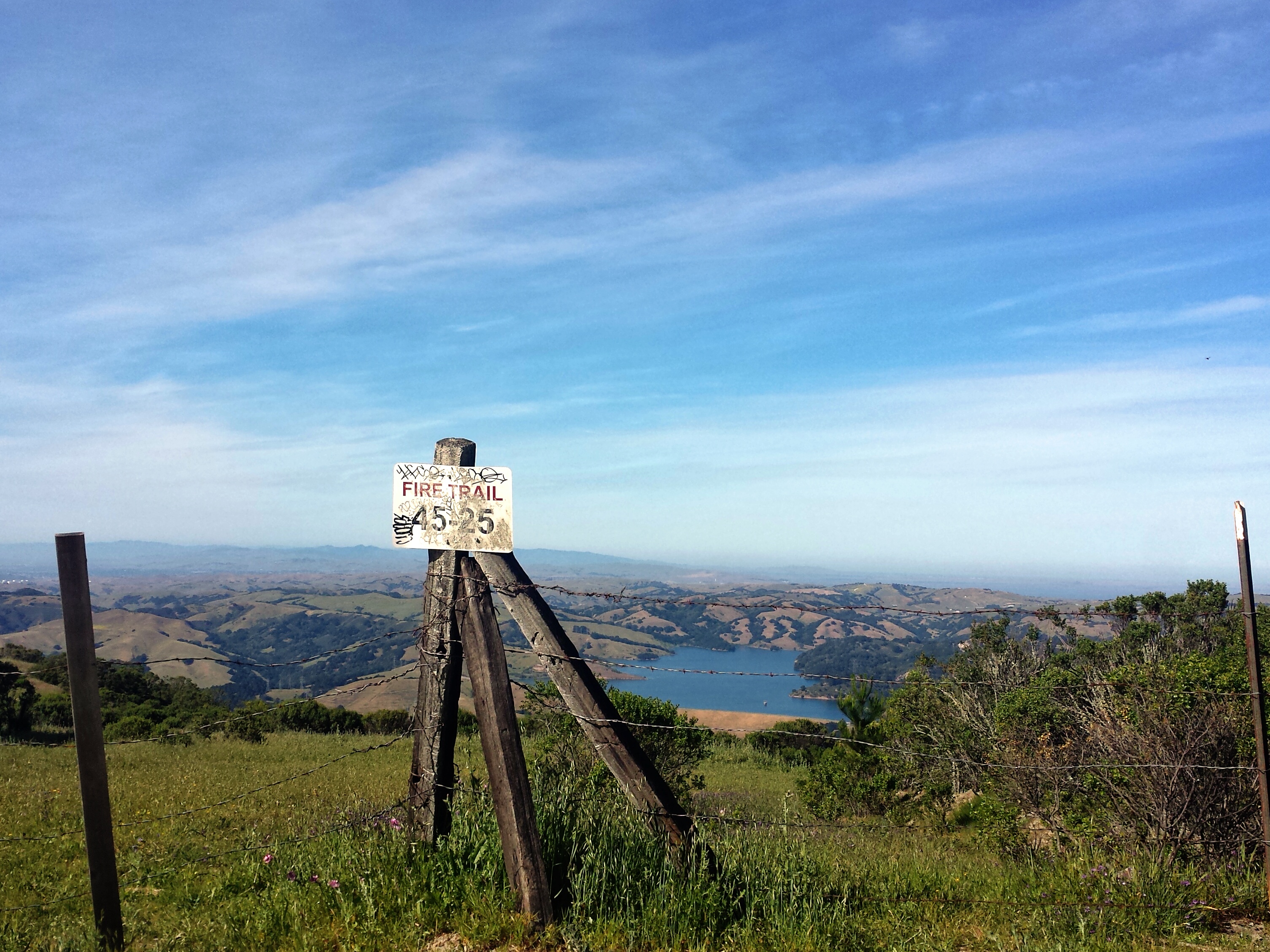
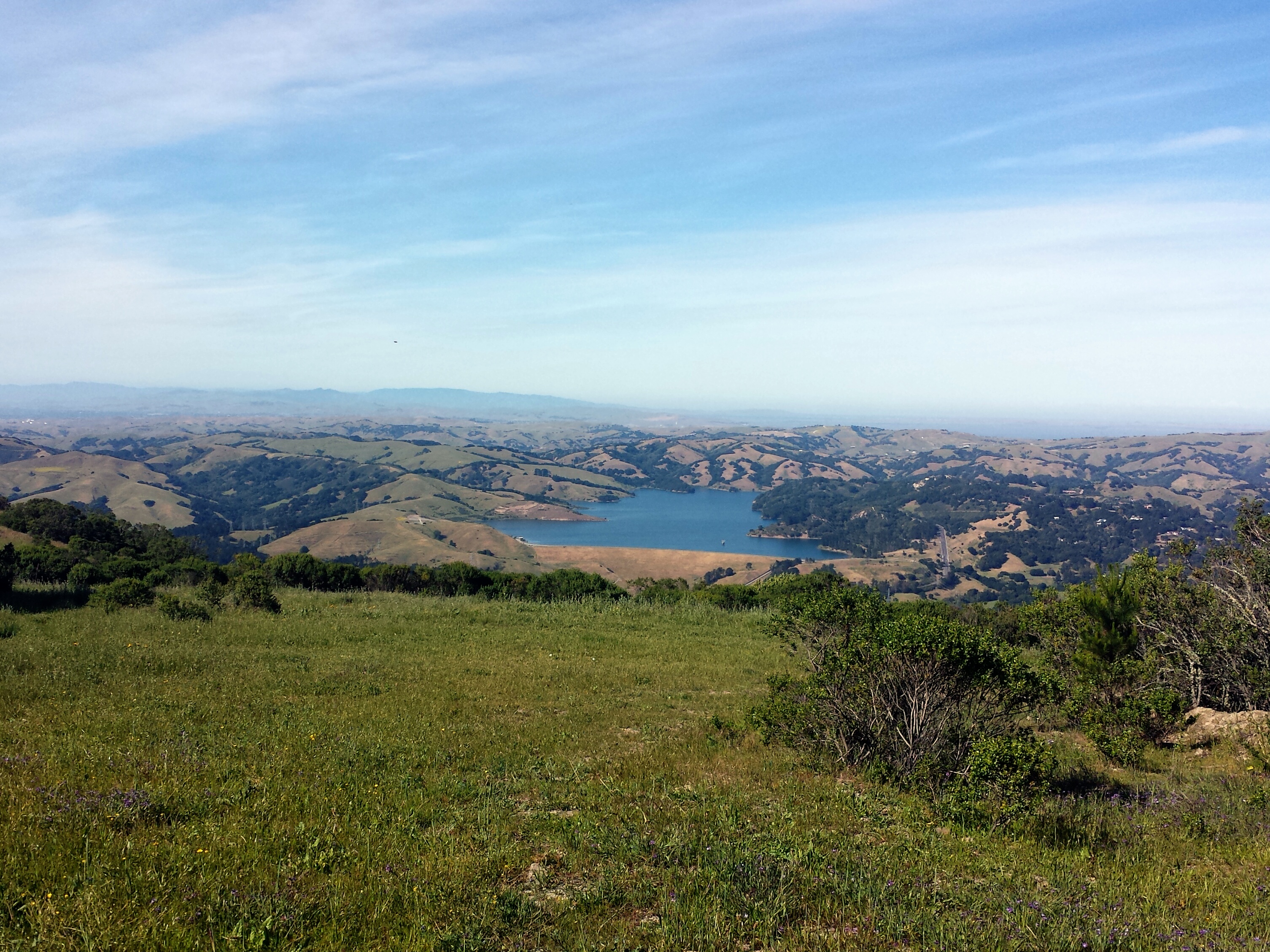
For our loop we turn left, since we visited Vollmer Peak earlier. The paved path opens to a sunny area with more wildflowers, and a path that leads up to a fire road gate with an amazing view of the San Pablo Damn Reservoir.


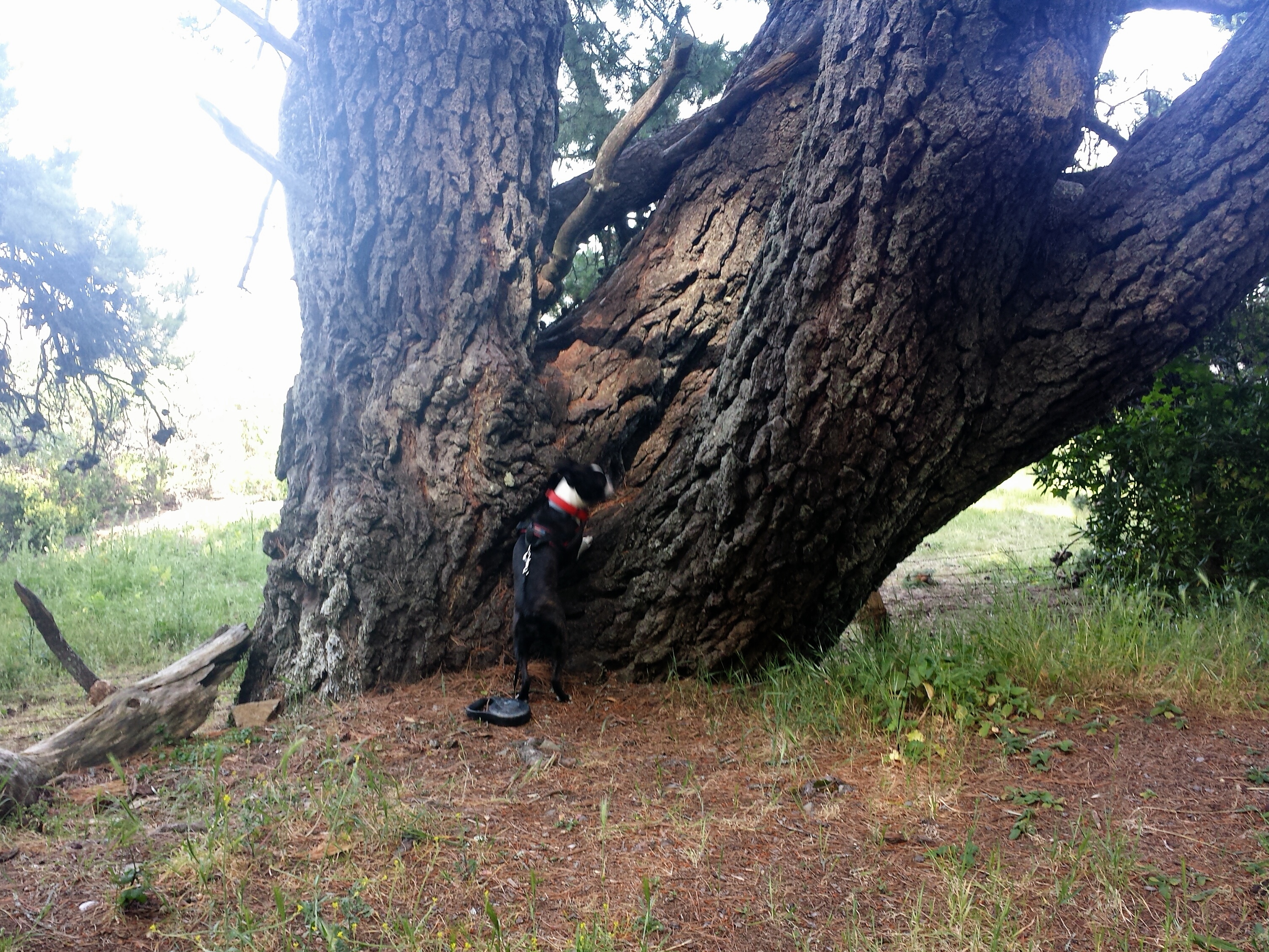
From here you’ll continue your decent down, and see things like pine cone branches, a tree arch perfectly framing the view below, a giant tree trunk, and another view of Mount Diablo.


There will be a bench where you can sit and enjoy the view, or your dog can be in sniff heaven

You’ll also come across what looks like to be an old foundation, and some more flowers.


Coming further down you can sneak a peak thru the trees of the Bay again, and when you get to the water tanks, you are just about to the parking lot for a total of 2.5 miles. If you decide to skip either option for going to the top of Vollmer Peak, this loop is just about 2 miles. Also there is a picnic area off across from the first parking lot. I haven’t found the swing that is supposed to be somewhere on Vollmer Peak, maybe it is gone now.


like
LikeLike